‘Devastating’: How Bay Area Residents Are Fighting Flooding From El Niño and Coming King Tides
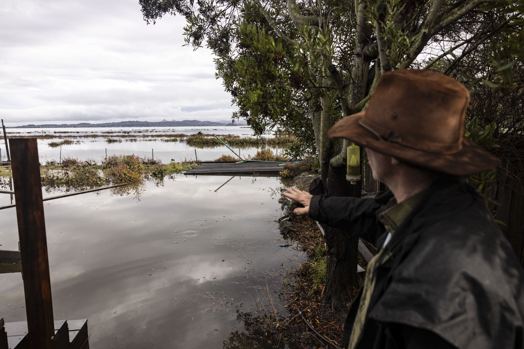
Kirk Miller is fed up with floodwaters in his Mariner Cove neighborhood in Corte Madera.
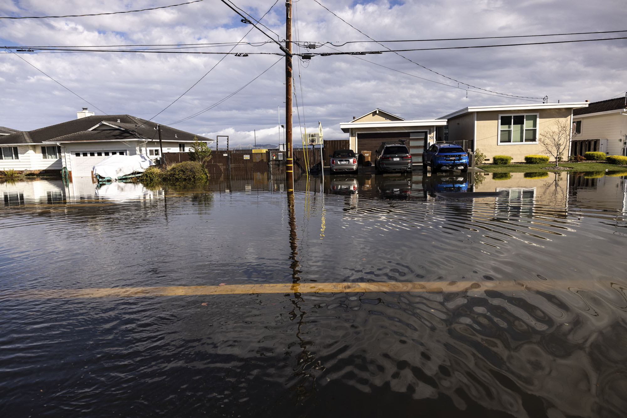
For more than a month — and several times a week — water from San Francisco Bay has crept into a row of 14 properties, flowed around the sides of homes and poured into the street.
“On a bad day, we get water flowing here and flowing into garages and potentially flooding houses,” Miller said.
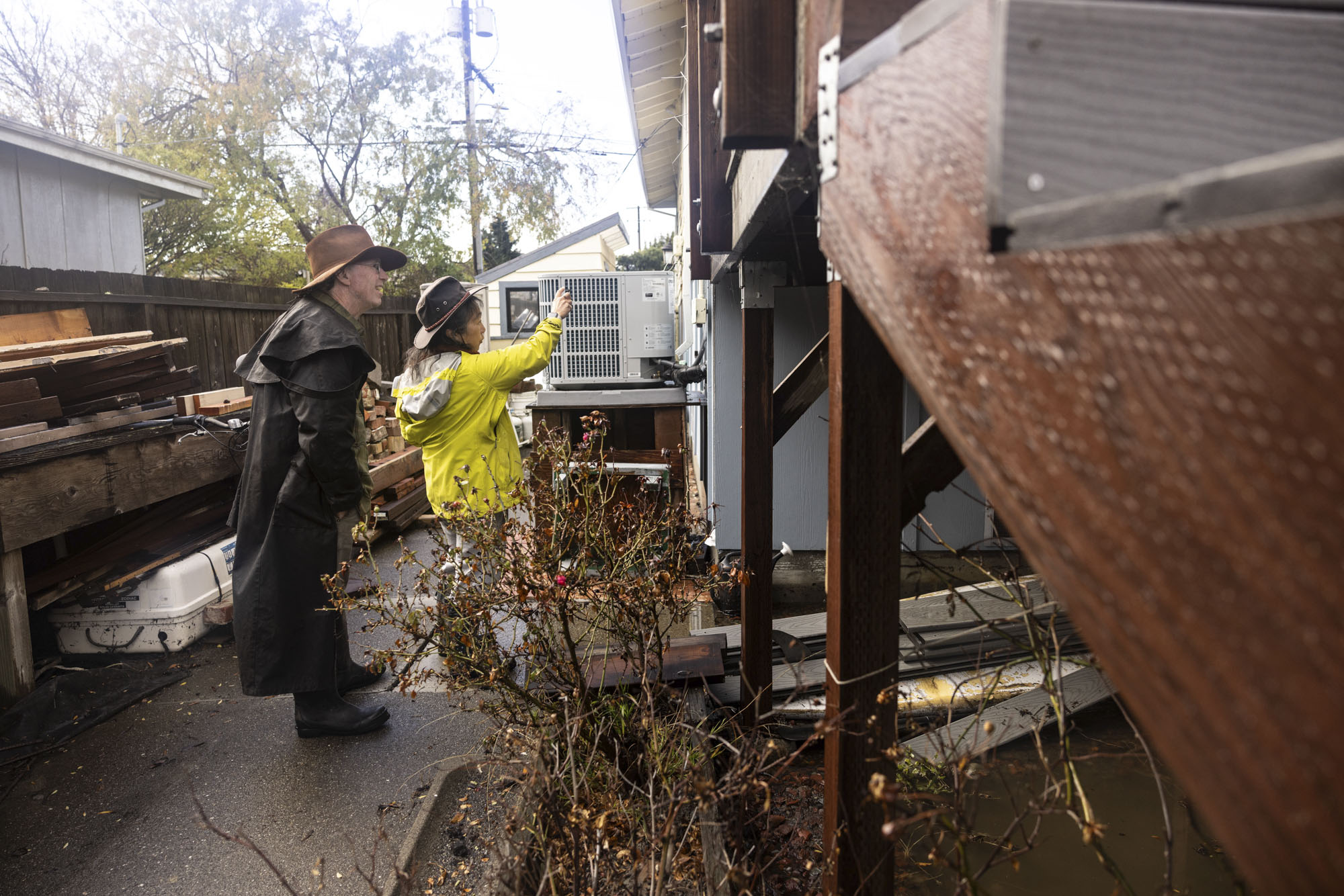
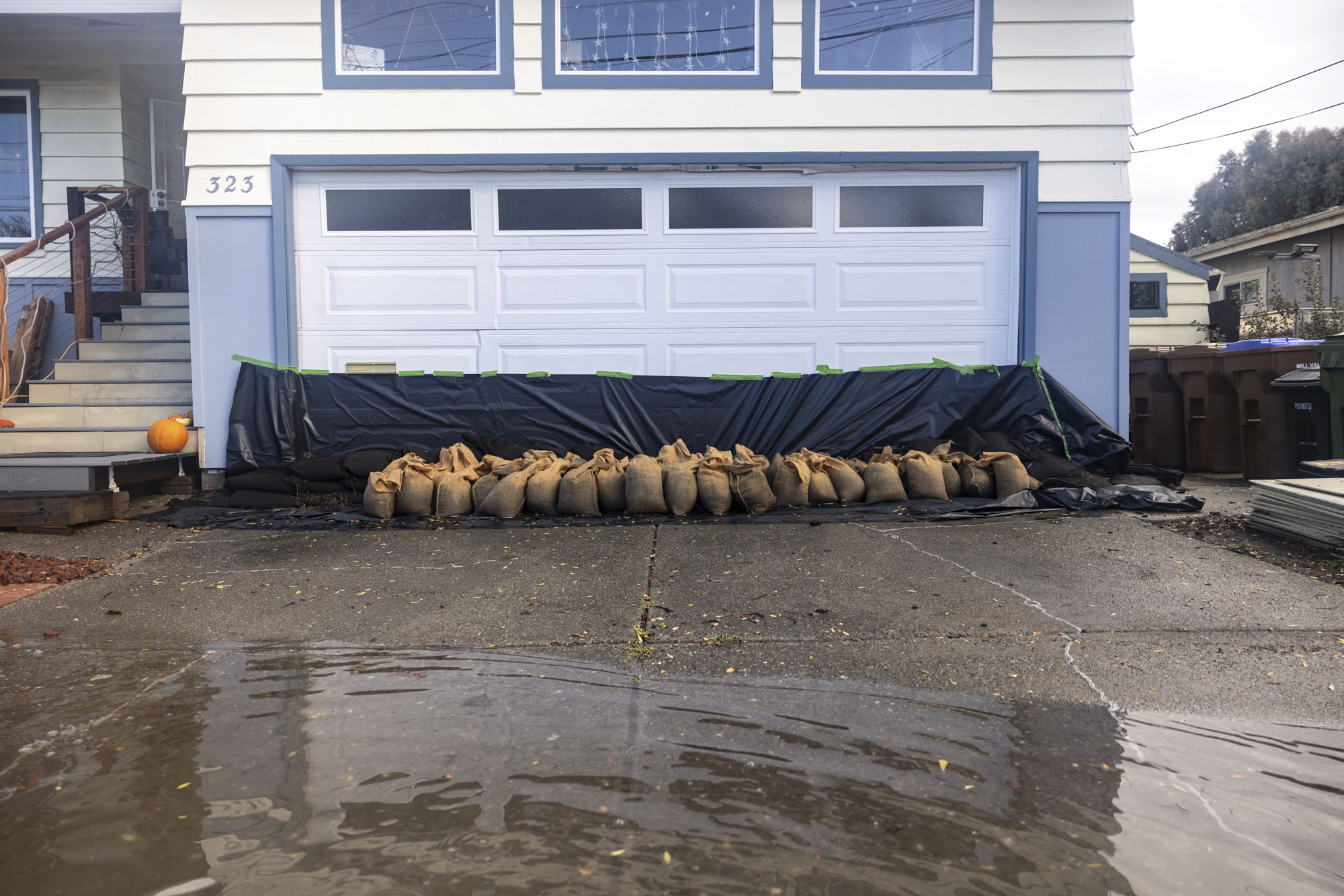
Miller is actively combating the water. A few years ago, he raised his entire home on the bayfront Golden Hind Passage by 4 feet, and now he has organized his neighbors and the town to work together to fight the coming floodwaters. By next week, the stretch of 12 homes and two city properties will be lined with stiff flood barriers, plastic sheeting and sandbags between them as a makeshift wall to stop the water.
“We’re all aware that if we don’t work together, then it’s not effective,” Miller said. “I equate it to screen doors on a submarine. If you have 10 screen doors and you close nine, you might as well stay home.”
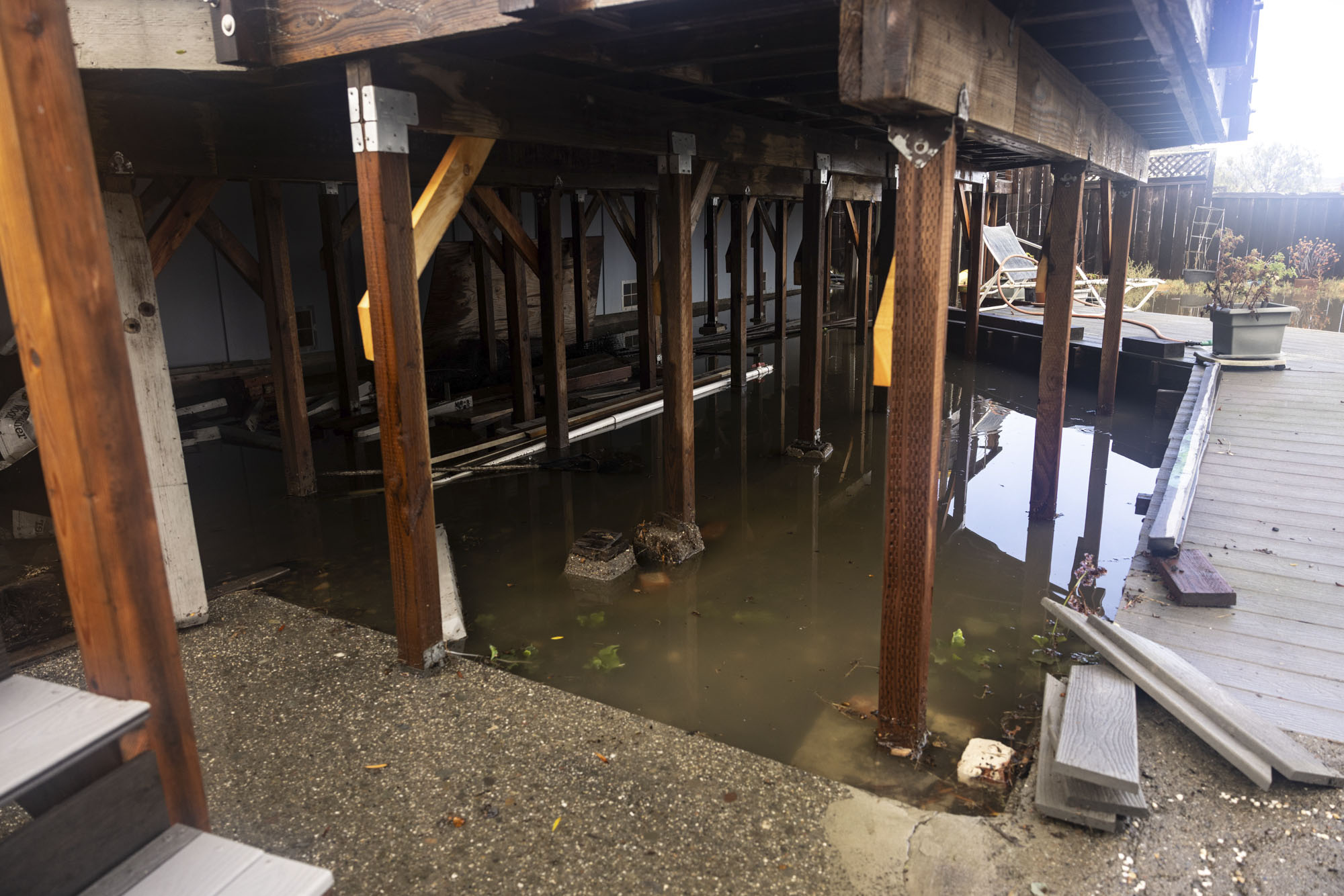
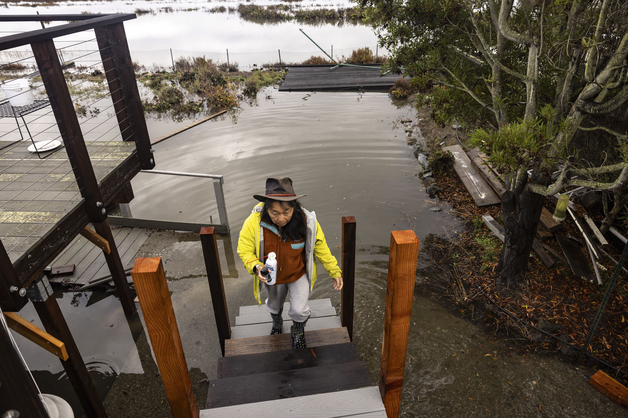
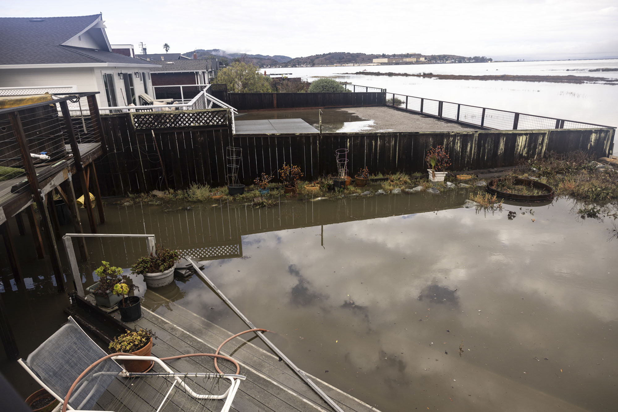
The goal is to block tides up to 8 feet. But Miller is nervous that next week, floodwaters could be even higher and spill over his efforts, inundating his neighborhood.
King tides are expected to peak right around Thanksgiving. The highest tides of the year are no laughing matter, because they will be more than a foot taller due to ocean warming from El Niño and could become even more raucous if storms and windy conditions align that week.
Already this week, tides in San Francisco were around 2 feet above predicted levels, according to the National Oceanic and Atmospheric Administration.
Next Wednesday, tides are expected to peak at just above 7 feet and fall slightly the next day. But what’s felt on the ground could be 1 to 4 feet taller because of wind, rain, temporary sea level rise because of El Niño, waves and a potential atmospheric river that same week.
“That would potentially put us up to 9 feet,” said Roger Gass, a meteorologist with the National Weather Service’s Bay Area office.
Gass said forecasters are considering issuing a “long-duration coastal flood advisory” next week, though it’s still too early to say.
Flooding is ‘100% guaranteed’
El Niño forms when tropical trade winds weaken or reverse, allowing warm ocean water near Asia to move toward the Pacific Coast. This process heats the eastern Pacific Ocean and can alter the jet stream, bringing a stormier winter to California. It can also disrupt the ocean’s nutrient-rich upwelling, raising local ocean temperatures and impacting sea life.
There’s a 60% chance that this year’s El Niño will become “historic” this fall and winter, according to a November outlook from NOAA’s Climate Prediction Center.
“This is the strongest El Niño on record, and it is fueled by warmer seas than we have ever seen,” said Michael Beck, director of the Center for Coastal Climate Resilience at UC Santa Cruz. “Climate change is most definitely strengthening this El Niño.”
Climate scientist Daniel Swain said the higher seas, king tides, waves and storms could cause record-breaking flooding across the region.
Swain, with UC Agriculture and Natural Resources, is particularly worried about bayside Marin, San Francisco and San Mateo counties, as well as parts of the East Bay, like the island city of Alameda.
“These are all places that could see major highways, and even neighborhoods, underwater,” Swain said. “Don’t be surprised if you can’t drive on Highway 101 for multiple consecutive days.”
Swain is particularly nervous about San Rafael in Marin County, since that’s where his family lives. Much of the downtown area and Canal neighborhood sit below sea level with a makeshift array of flood protections along the tidally influenced San Rafael Creek. Water has poured into parts of the city, and it has flooded on sunny days in the past weeks.
“It is an irony not lost on me, though, that San Rafael is probably one of the most sea-level-rise-vulnerable parts of the Bay Area and arguably even of California,” Swain said.
Swain said the king tides and the temporary sea-level rise are “100% guaranteed.” But less certain is how storms and big waves will affect shoreline areas. However, early indications suggest next week “could be a stormy period,” he said, and that because of El Niño, he anticipates more frequent and stronger-than-average storms this winter.
“I’m hoping that we don’t actually get one during one of those high tide cycles, even if it’s a day off of that, it would help or two,” Swain said.
The potential flooding next week is “a very big deal,” Swain said, because the Bay Area and California are not prepared for this level of sea-level rise. It also offers a glimpse into what could happen daily by mid-century, as the ocean rises because of human-caused climate change.
“The message to people is that this is going to happen — and that it could be worse than they’ve previously experienced,” Swain said.
And to make things worse, Swain said next week won’t be the only window with the possible confluence of climate and weather effects stacking this winter. King tides are forecast for the week of Christmas and the week of January 21.
“I don’t think we’re gonna be able to manage all the risk out of this one,” Swain said. “I really think that there’s gonna be significant, fairly widespread flooding during at least some of these windows.”
Patrick Barnard, research director for the Center for Coastal Climate Resilience, wrote on LinkedIn that he casts “his vote for record-breaking water levels as well, only to be broken again at Christmas and/or the third week of January, especially if there is a low-pressure system.”
Understanding wave heights
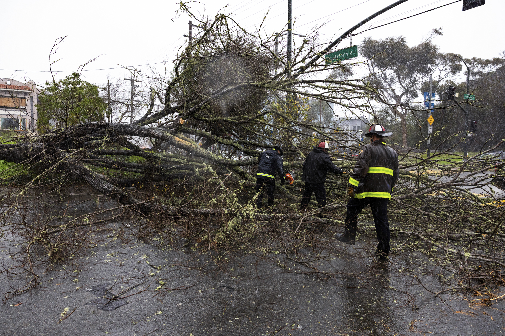
San Francisco’s 7.5 miles of bayside shoreline is also at risk of flooding, especially when storms churn up already high sea levels. San Francisco received 2.64 inches of rain Wednesday, the most ever on that date and more than the entire month’s average rainfall, the National Weather Service said.
“This is the beginning of a long El Niño season,” San Francisco Mayor Daniel Lurie said. “We got hit hard this morning, and we’re going to continually get hit next week. Prepare now for what will be a long winter.”
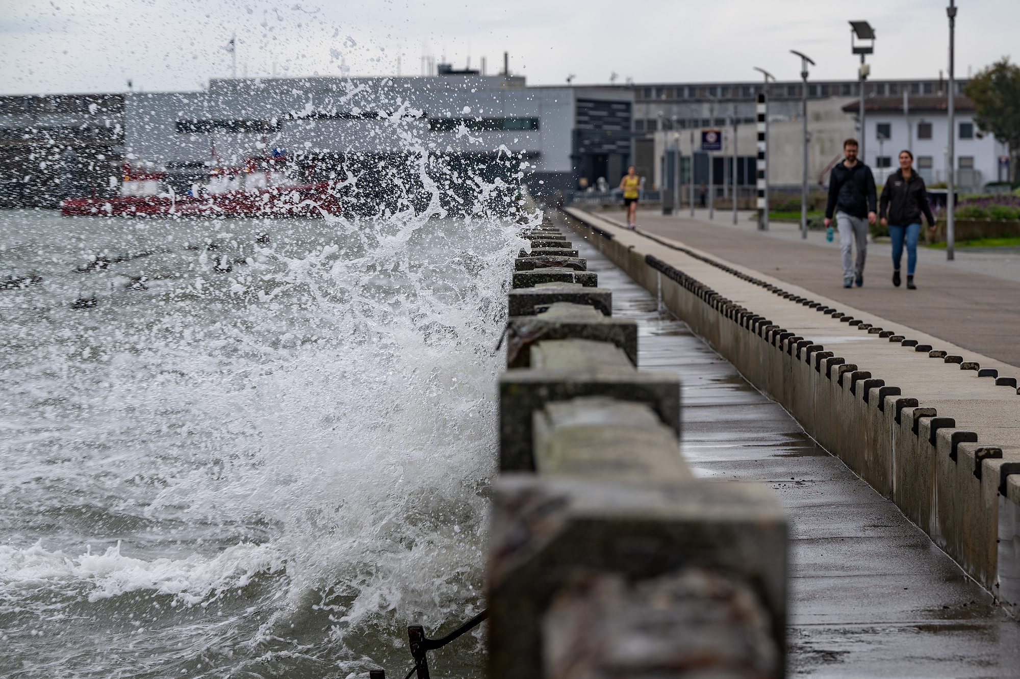
The Port of San Francisco has deployed temporary flood barriers along vulnerable spots of the shoreline. The Port has also partnered with Sofar Ocean, a San Francisco-based marine technology and ocean intelligence company, and dispatched four buoys in areas that could flood.
“Having real-time data to see the places where the waves are highest and knowing our safety tolerances in the different locations will help us deploy whatever resources we need to address those things,” said Michael Martin, executive director of the port. “This is a really challenging moment, and it’s definitely challenging to do this during the holidays.”
The solar-powered sensors primarily detect wave heights, which matter for areas like Aquatic Park, Pier 29, Rincon Park and Brannan Street Wharf, all of which are susceptible to flooding. On Wednesday at Aquatic Park, waves during the storm rose more than 1.5 feet above the bay’s surface.
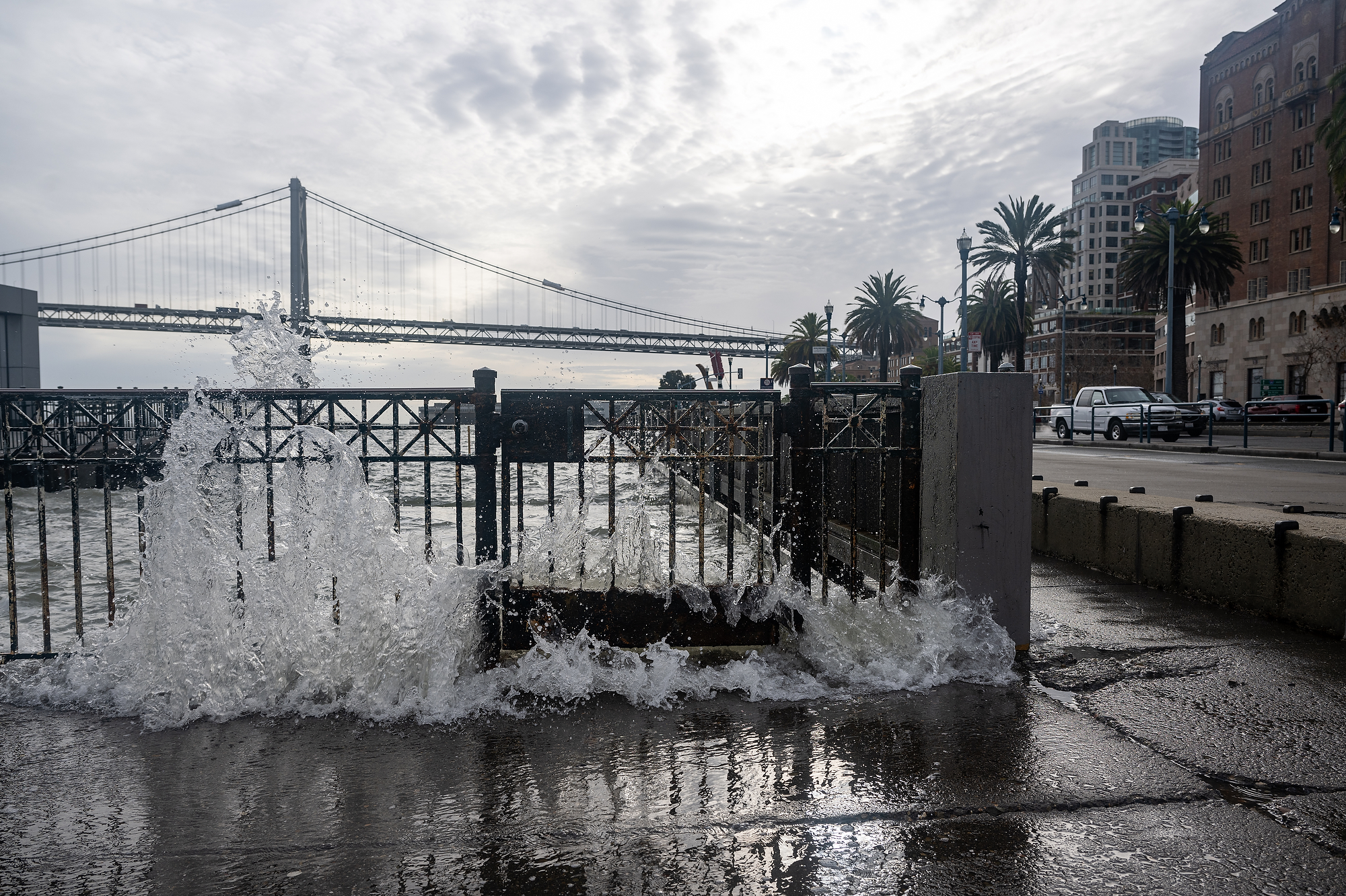
Anna Savage, a distributed sensing scientist with Sofar Ocean, said knowing wave height in real time lets the port estimate how much additional water could crash into the city at high tide.
“That kind of choppiness and storminess is going to increase the likelihood that you’ll get some flooding just because you’ve got more water moving around and more wave energy,” Savage said. “When we get king tides and storms on top of this already-raised sea level, that’s when your risk for flooding really goes up.”
Savage said the company hopes to install at least two more buoys along San Francisco’s bayfront and has plans to install water pressure sensors soon, which will help them understand how sea levels rise.
“That is going to give us a lot better insight into how El Niño is affecting the water level and how it can lead to flooding,” Savage said.
Working together to prevent the worst
Back in Corte Madera, Miller is fully prepared to spend Thanksgiving with his family at his home perched above floodwaters, especially if the predictions come true of 9 feet of water next Wednesday and Thursday.
“We’ll just hang out and drink cocktails, because we’ll be stuck in the house, and the road will be completely flooded, so we won’t be able to get in or out,” Miller said.
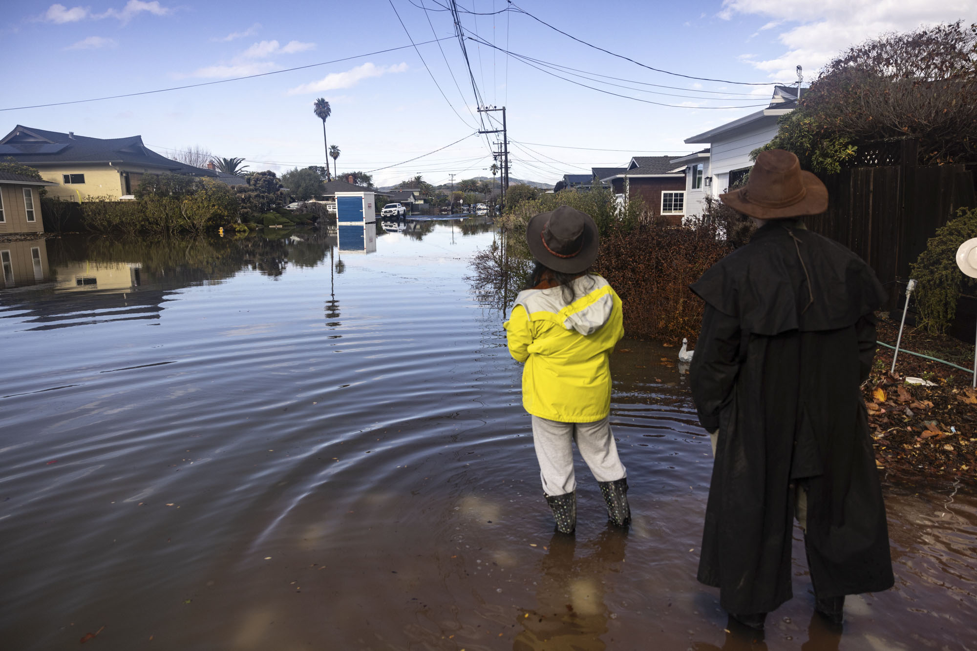
But he hopes the temporary barriers hold and keep the majorrity of the water out of his community of mostly single-story homes.
“Even if it flows over, it will reduce the volume and the time that it comes in,” Miller said.
Miller is thankful that his neighbors truly understand the risk and have been “super cool about working together. But the combination of a whole bunch of rain, the king tide and thermal expansion — that combination could be quite devastating.”