This Year’s Powerful El Niño May Preview California’s Climate Future
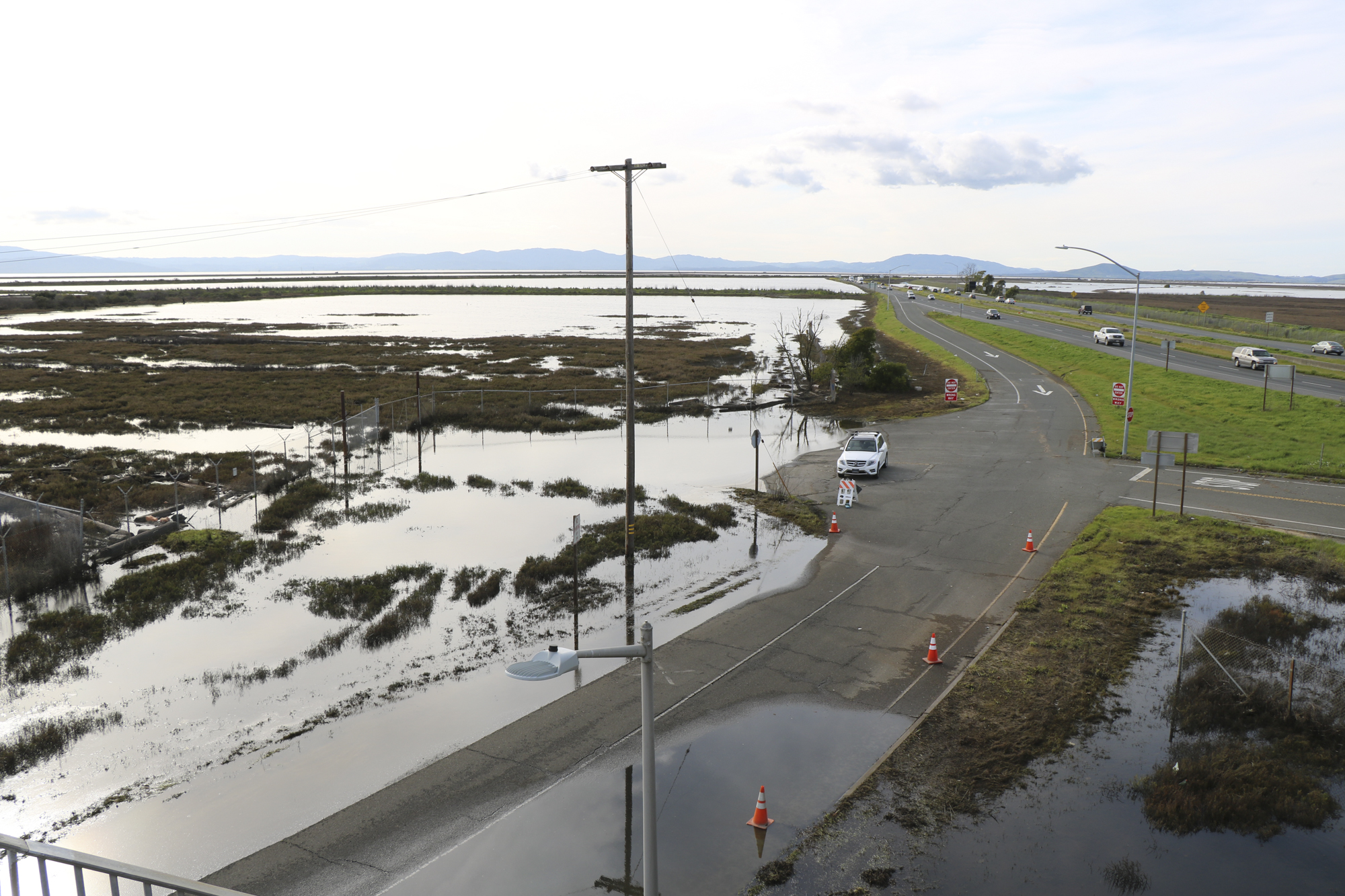
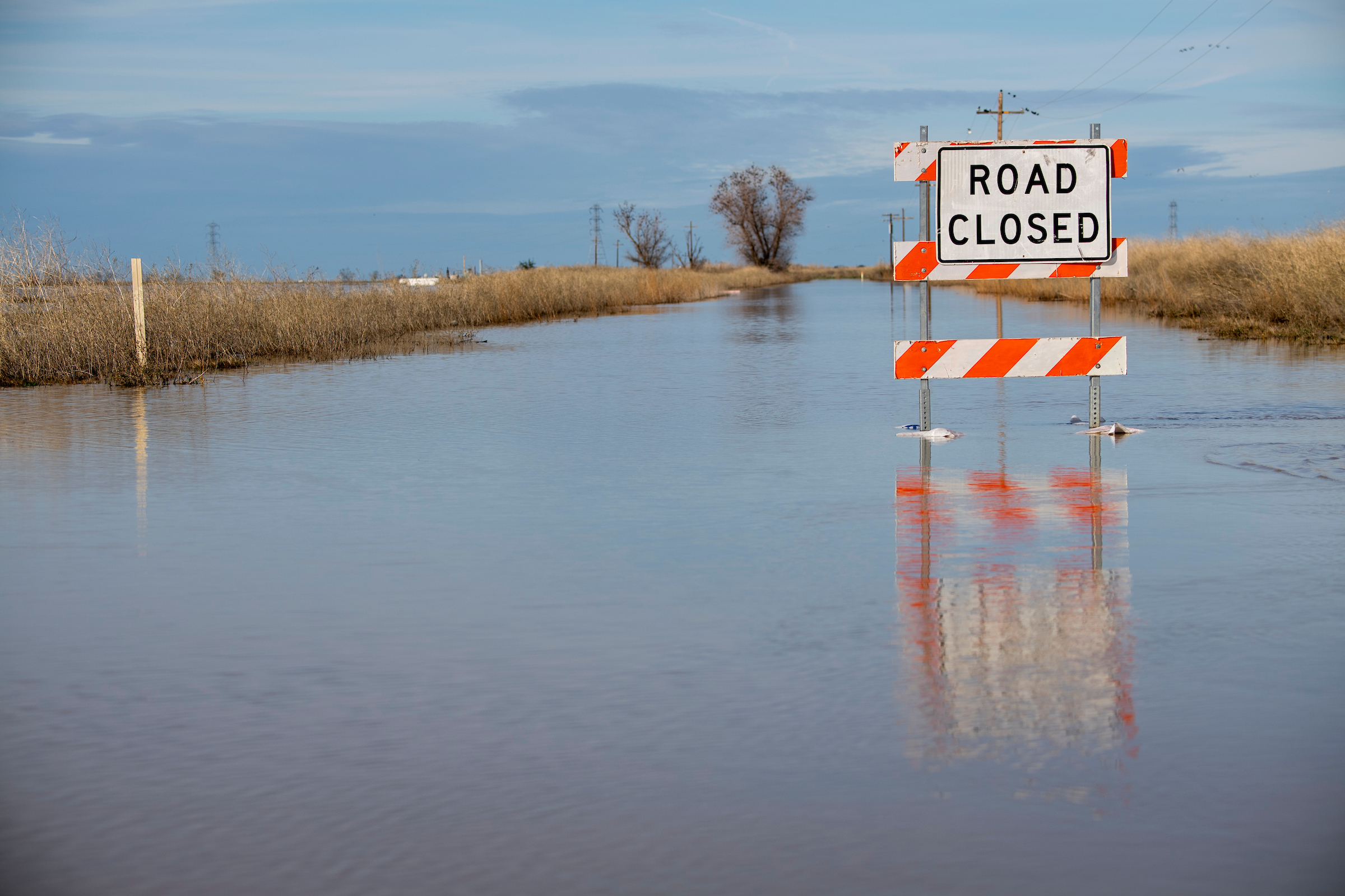
Flooded highways. Inundated airport runways. Water-filled neighborhoods. Beaches washed away. All of these impacts, and more, could take place this winter as El Niño continues to unfold.
Several new reports this week suggest that El Niño’s effects this winter — flooding from temporarily high seas and potential storms — foreshadow a future shaped by human-caused climate change.
“This is really a preview of the near future,” said Fraser Shilling, director of the Road Ecology Center at UC Davis. “We can think of it as training wheels. This is what’s coming down the road, and we really need to figure out how to deal with it.”
Shilling published a special report highlighting the areas of the state he’s most worried about during El Niño conditions. His concerns span the California coast — Southern California cities already battered by waves, San Luis Obispo, parts of the Bay Area, Stinson Beach and Humboldt Bay.
“They are places that have flooded during extreme events before,” Shilling said. “It is possible that we’ll see tipping points, and these systems will just change. If a town or neighborhood has been flooded before, maybe people will just leave and not come back.”
Shilling said the recent flooding in Southern California offers a glimpse into what the rest of coastal California could experience this winter, especially along vulnerable highways and other low-lying infrastructure.
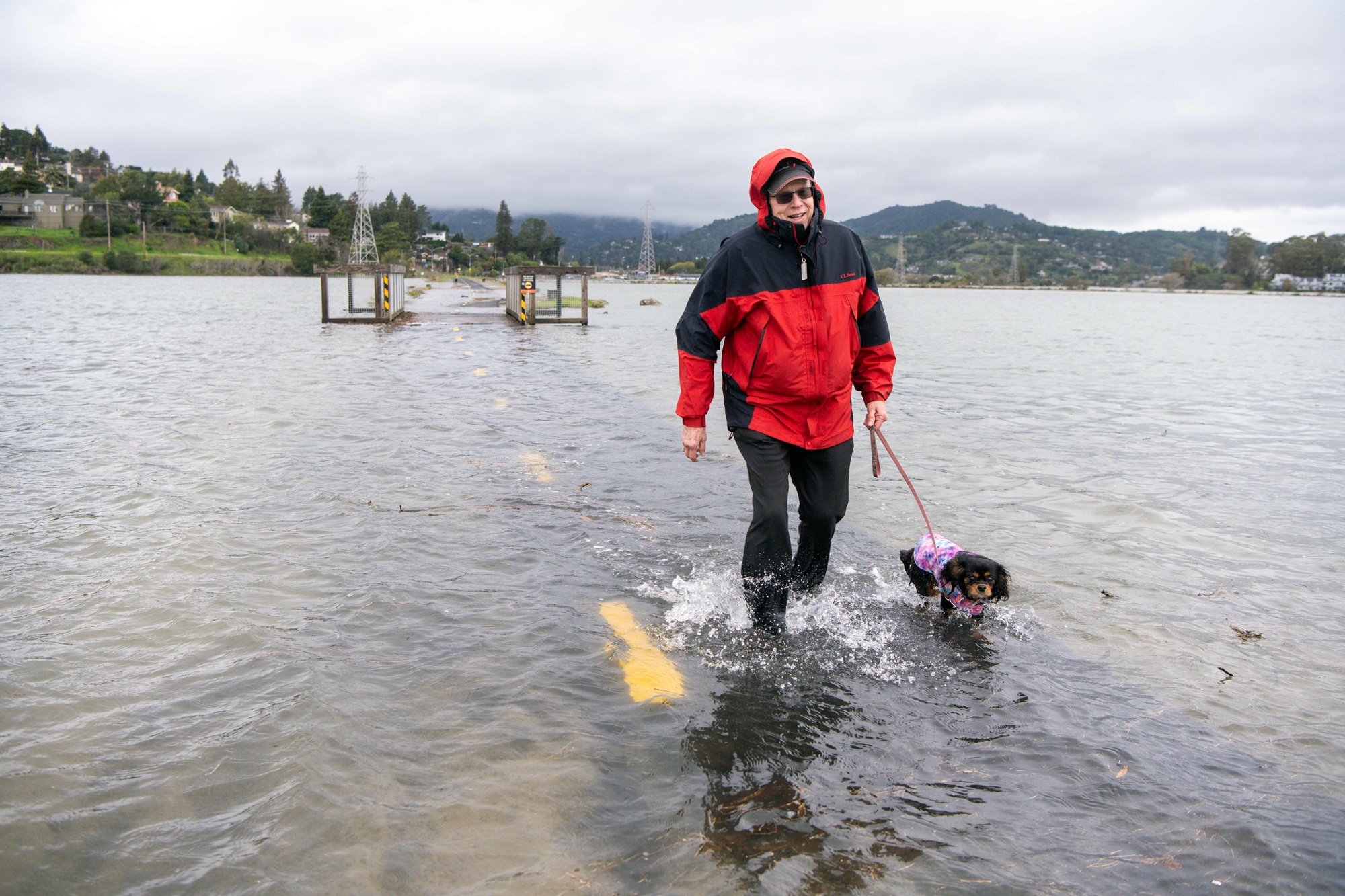
Beyond areas likely to flood, his report shows places with a lower chance that could become high risk if they fill with ocean water, rain, or both. Examples include major highways near waterways, like Highway 37 near Novato Creek, and airports with runways built on fill near San Francisco Bay.
“Let’s be optimistic and say that there’s a low probability that [airports] are going to flood,” Shilling said. “But if they flood, that’s a high impact even if it’s temporary.”
Some of the highest-risk areas in California are places like San Rafael in Marin County, where homes and businesses are built right up to the shore and sit below sea level.
“It costs millions or billions to fix these things before they break, but it costs even more if you wait till after,” Shilling said. “Once they do flood, and you have to do emergency repairs and emergency restoration and all those things, then your costs skyrocket.”
At the same time, California released its Fifth Climate Change Assessment this week, warning that in the coming decades the state could experience longer summers, more wildfire smoke exposure, a shrinking snowpack and a shorter, more intense rainy season.
“Things climate-wise are intensifying in many instances and getting worse,” said Ruth Langridge, the report’s coordinating lead author and researcher at UC Santa Cruz. “We’re going to be seeing more unprecedented heat waves. The projections show that droughts will intensify and storms will intensify.”
The report comes at a time when “science is under attack” by the Trump administration, Langridge said.
Moves include revoking the state’s Clean Air Act vehicle waivers, pressing for new offshore oil leases and trying to limit the California Coastal Commission’s authority, among other actions. The administration also cut funding for the National Climate Assessment in 2025.
“Eyes will be turned on to what California is seeing in our assessment,” Langridge said. “We want to be sure that a factual story is getting out, and sometimes you’re not hearing that on the federal level.”
One of the report’s major findings is that California’s Central Coast, roughly from the Bay Area to Santa Barbara, is likely headed toward a future where climate extremes are even more the norm: hotter days, more intense droughts and stronger storms.
The assessment finds that weather patterns are intensifying, especially around heat, with typical hot months getting even warmer and the rainy season getting shorter, with more intense bursts in January and February. By the end of the century, the region’s rainiest day could be up to 30% wetter.
“The amount of precipitation might not change, but it’s going to come in great big deluges,” Langridge said.
UC Santa Cruz researchers created a tool, CoSMoS Adapts, that helps coastal communities visualize future flooding and erosion risks.
It may also help cities understand how nature-based solutions, like offshore reefs or restoring dunes, could save money and protect property and infrastructure.
“Strictly about coastal flooding and erosion, after the 2050s, things start to become much more difficult to manage with the kind of tools that we’ve been thinking about at a whole variety of levels,” said Michael Beck, professor and director of the Center for Coastal Climate Resilience at UC Santa Cruz.
The pilot analyzes risk in Santa Cruz, Half Moon Bay and Ventura. On LinkedIn, Beck posted a visualization of what flooding in Santa Cruz could look like this winter from large waves, king tides, Kelvin waves, thermal expansion and storm surge.
The work could soon include Los Angeles and Orange counties. Beck said he would like to expand to other parts of the region, like the Bay Area.
He said the already-thrashing waves along the coast, nearly a foot of temporary sea level rise (and more to come) and potential back-to-back storms this winter connected to El Niño will likely become California’s more frequent future reality.
“The kinds of things that we both have seen with this El Niño down south and that we are anticipating those seasons might become more regular by the 2050s,” Beck said. “El Niño for us is that reminder that these risks are real, they’re here, they’re now, and they are growing.”