What Is a Kelvin Wave? How El Niño Can Raise West Coast Sea Levels
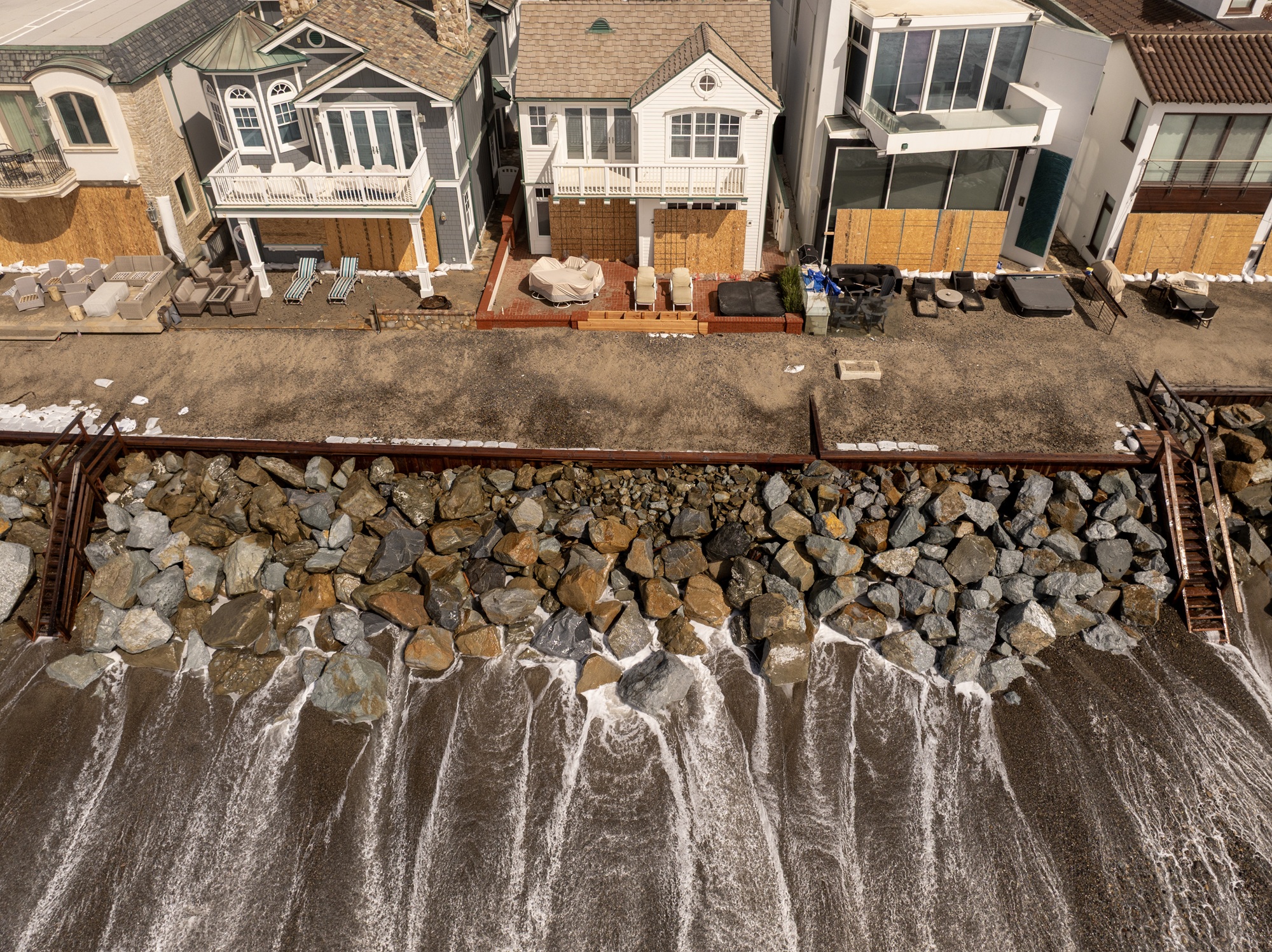
El Niño‘s effects are already being felt on the West Coast. Communities are reeling from coastal flooding across Southern California and parts of the Bay Area.
The culprit? In part, scientists say the flooding is due to what they call a Kelvin wave.
But this massive wave isn’t visible like a tsunami or a wave surfers can catch; it moves slowly beneath the ocean’s surface and is one of El Niño’s first effects, which could strengthen to historic intensity this winter.
“Kelvin waves are like the heartbeat of El Niño,” said Josh Willis, project scientist for sea level missions at NASA’s Jet Propulsion Laboratory in Southern California, in a recent post.
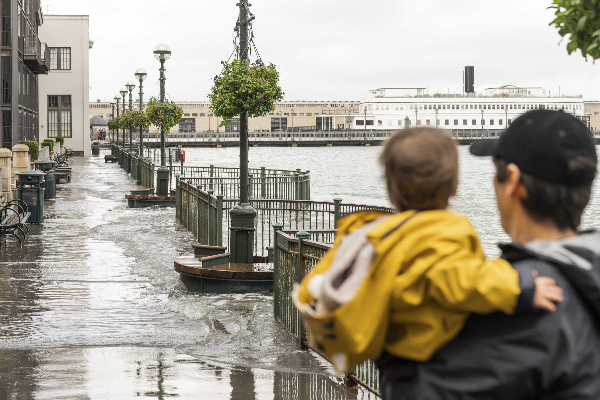
Kelvin waves can cause temporary sea level rise of several inches to more than a foot along the California coast and trigger minor flooding on their own. But when that pulse of water combines with high tides, storm-driven surface waves, thermal expansion from El Niño, and rising sea levels from human-caused climate change, flooding can be exacerbated.
“El Niño is a good opportunity to see where our vulnerabilities are throughout the state,” said Mark Merrifield, director of the Scripps Center for Climate Change Impacts and Adaptation. “It also is a sobering look at what we could expect with climate change.”
Here’s a look into the science behind how Kelvin waves form, their potential impact on the California coast and how the natural phenomenon could flood Bay Area neighborhoods.
What causes Kelvin waves?
El Niño is marked by warming in the Pacific Ocean’s surface layer. Like an “underwater freeway,” Kelvin waves transfer heat from west to east and can stretch thousands of miles across the Pacific Ocean, according to NASA.
“Kelvin waves are a symptom of El Niño,” said Dillon Amaya, a professor at North Carolina State University, who studies marine extremes.
The ocean and the atmosphere are strongly connected, and as the water warms, the atmosphere responds by heating up. Normally, strong trade winds — permanent surface-level air currents — blow from east to west, pushing water across the equatorial Pacific toward Asia.
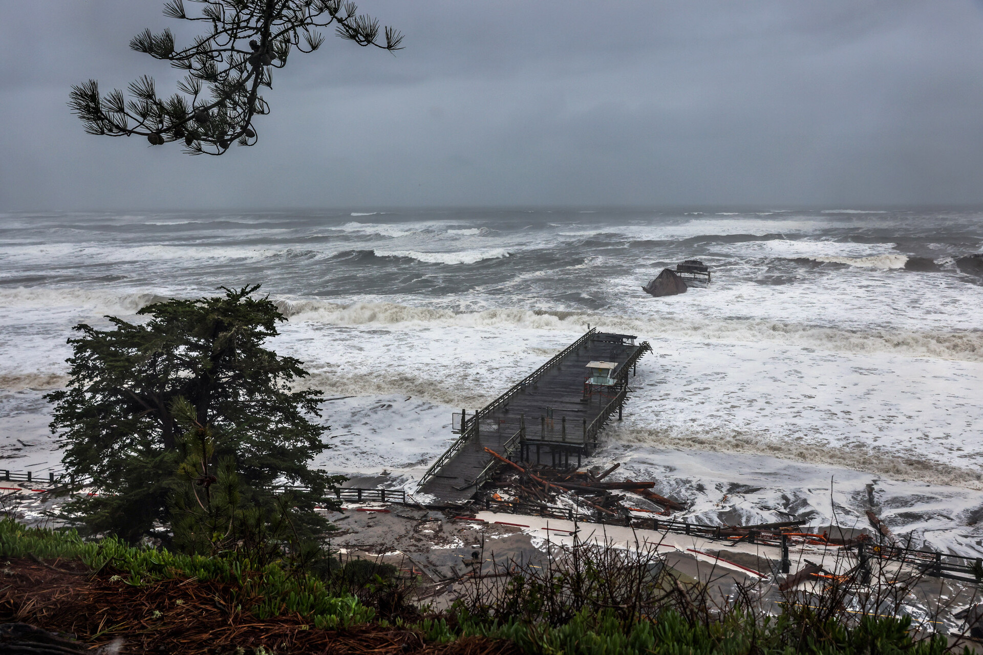
But as the water warms, the trade winds weaken or reverse as high pressure weakens or breaks down above the tropical Pacific Ocean. When winds change direction, immense amounts of water from the west slosh east, eventually hitting South America and splitting north and south.
That slow-moving ocean pulse is known as a Kelvin wave.
“Think of it like a bathtub where you’re pushing water from one end of the bathtub to the other,” said Michael Beck, professor and director of the Center for Coastal Climate Resilience at UC Santa Cruz.
The Kelvin wave travels at about 6 miles per hour (or about 150 miles per day) just above a cold layer of deep ocean water. The “disturbance inside the ocean” moves up the coastline, like a wave traveling around a sports stadium, said Severine Fournier, an ocean scientist at NASA’s Jet Propulsion Laboratory in Pasadena.
“The disturbance gets passed to the next person, and that disturbance is the sea level rise,” Fournier said.
How do Kelvin waves warm the Pacific Ocean?
As a Kelvin wave develops, it thickens the warmer surface layer and pushes the deeper, colder layer beneath it, known as the thermocline. This takes place “at depths between 660 and 3,300 feet,” according to the National Oceanic and Atmospheric Administration.
“The area that’s just a bit beneath the surface of the water is where you see the greatest change in temperature,” Beck said.
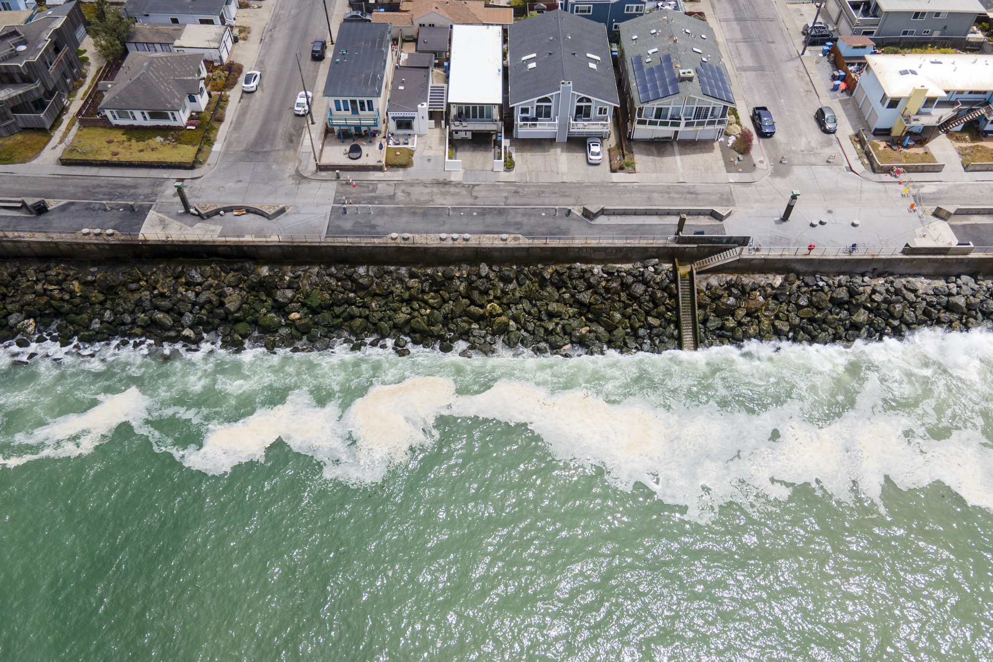
This change ultimately confines cold water and disrupts the ocean’s nutrient-rich upwelling, which can warm surface water.
“If you had water or oil sitting on top of water, the wave is in the interface between oil and water,” said Sean Vitousek, a research oceanographer in the U.S. Geological Survey.
How do Kelvin waves raise sea levels?
Think of a Kelvin wave as a massive bulge of warm, expanded water. Because it’s warmer, this massive subsurface wave displaces the cold water it pushes aside. As it crawls up the coast, local sea levels can rise from several inches to more than a foot.
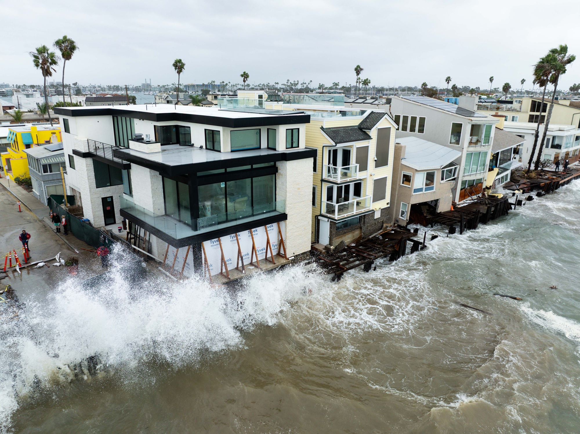
But not all the rise felt on the West Coast right now is from a Kelvin wave. The Pacific Ocean is warmer because of the exceptionally strong El Niño event and a separate regional marine heat. Water expands as it warms, and this thermal expansion accounts for roughly an additional 6 to 10 inches of rise.
“During El Niño years the water levels are often higher,” said Melissa Lunden, a climate scientist-in-residence at the Exploratorium in San Francisco. Not every El Niño results in higher-than-average water levels, “but overall, the trend is increasing over the decades.”
This temporary sea level rise occurs on top of an existing rise of about 8 inches along the San Francisco coast since the 1890s due to long-term climate change. State scientists project another foot or more by 2050.
How long do Kelvin waves last?
During an El Niño year, as many as six Kelvin waves can occur, and the temporarily high seas can last from weeks to more than a month, depending on the wave’s scale and other ocean and atmosphere conditions.
“It takes a long time for the sea state to relax back to where it wants to be,” Amaya said.
Can Kelvin waves cause flooding?
Kelvin waves can cause flooding on their own, but other factors exacerbate the risk.
Beck said background sea level rise, thermal expansion during an El Niño, high tides, and storm surge can amplify flooding or erosion along the coastline. But he said storms “are the real kicker” for the California shoreline and can cause coastal and inland flooding.
“Winter storms come straight at us with really huge waves,” Beck said. “If they’re riding fifteen inches to twenty inches [of temporarily higher tides] when we’ve got full El Niño warming and depending upon the size of the Kelvin wave, that’s a lot of water and can hit in exactly the places where you don’t want to hit, like on roads or houses.”
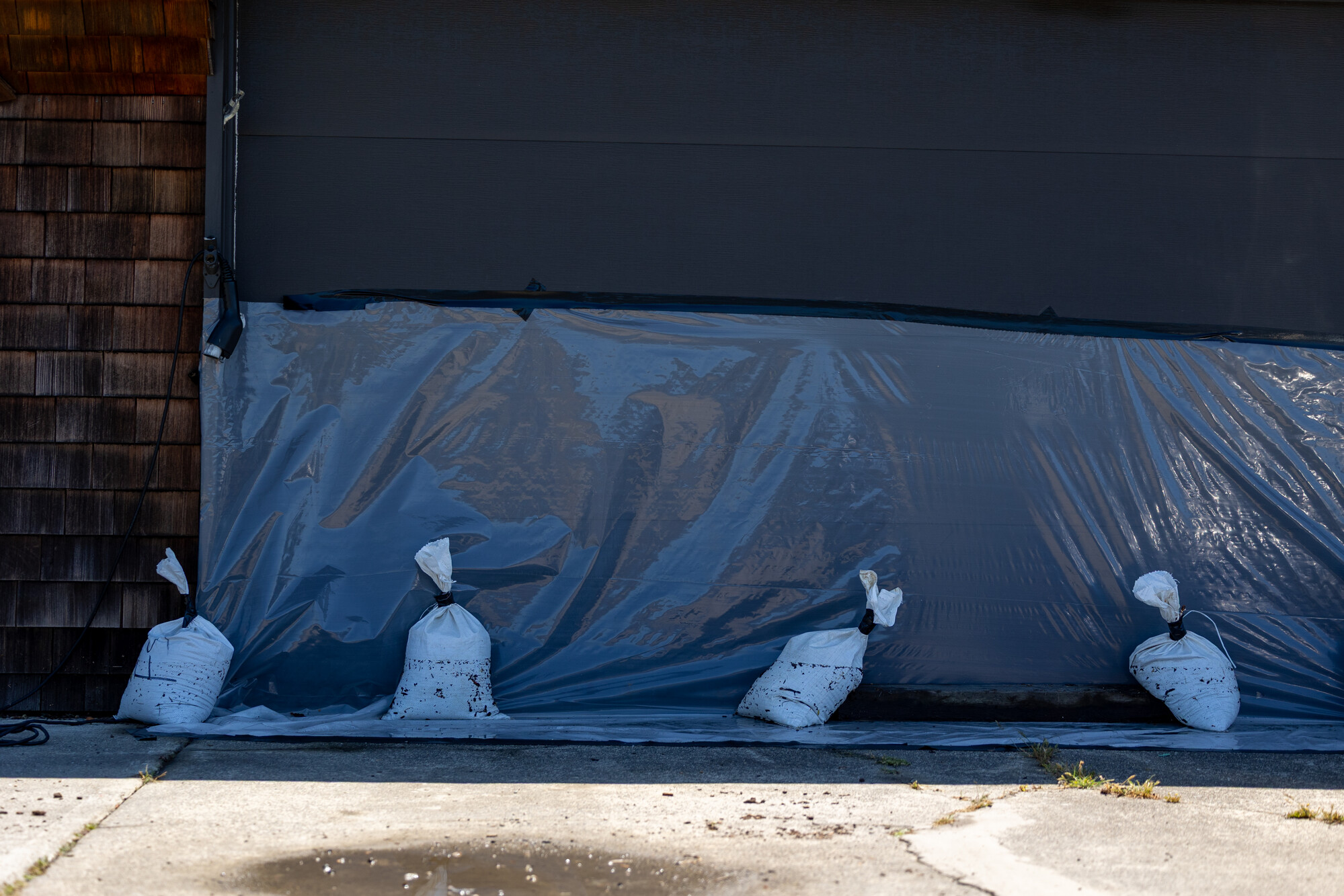
Add natural king tides, winter tides that are the highest of the year, and some places can experience even more inundation, said Daniel Swain, a climate scientist with UC Agriculture and Natural Resources
“We could get all of those stacked at once,” Swain said, noting that flooding can occur even if only a few of the potential impacts occur in tandem. This short-term flooding “could be comparable to, or greater than, the worst coastal flooding on record in the San Francisco Bay region,” Swain said.
El Niño-driven floodwaters can affect major infrastructure, homes, roads and airports.
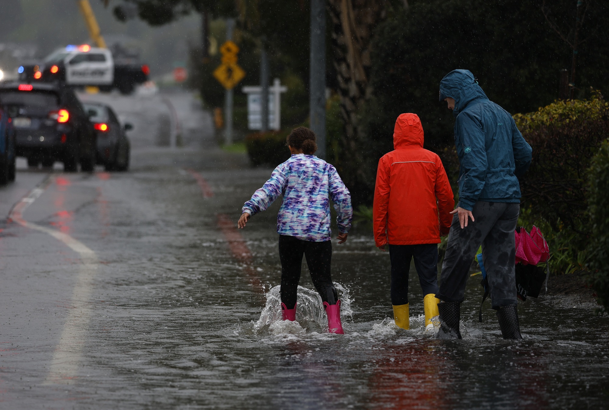
“Roads may be closed due to the low-lying areas being inundated with water, and if you do come around them, don’t drive around them because you don’t know the depths of the water,” said Karleisa Rogacheski, a meteorologist with the National Weather Service’s Bay Area office.
The potentially dangerous conditions may expose weaknesses in flood protections along California’s coastlines, said Kristina Hill, a professor in UC Berkeley’s College of Environmental Design who studies sea level rise.
Many cities, including San Francisco, have treated their waterfronts like “a medieval town with a wall around them,” Hill said. Others, like San Rafael in Marin County, have a patchwork of private levees. El Niño-fueled winters can test those barriers.
“We’ve been trying to fill the cracks in the bathtub by putting out little informal levees, and then occasionally a very big project like the San Francisco seawall,” Hill said. “We may see some of those informal things fail in surprising and important ways.”
Why are they called Kelvin waves?
Michael Jacox, a research oceanographer with the Southwest Fisheries Science Center and the NOAA Physical Sciences Laboratory, said in a post that Kelvin waves “are named after the prominent scientist, Lord Kelvin, who first described the unique wave phenomena in 1879.”
He also noted that “Kelvin waves are nothing new, and are a key part of El Niño events.”