A Perfect Storm: Waves and Tides Could Flood Bay Area Shorelines This Week
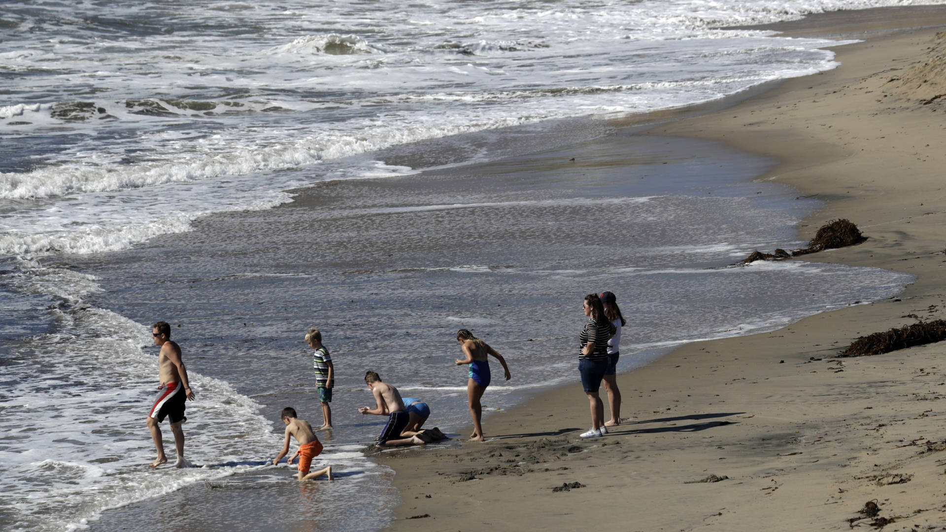
Tides and waves of varying scales this week mean low-lying parts of the Bay Area could flood by more than a foot and a half, according to the National Weather Service.
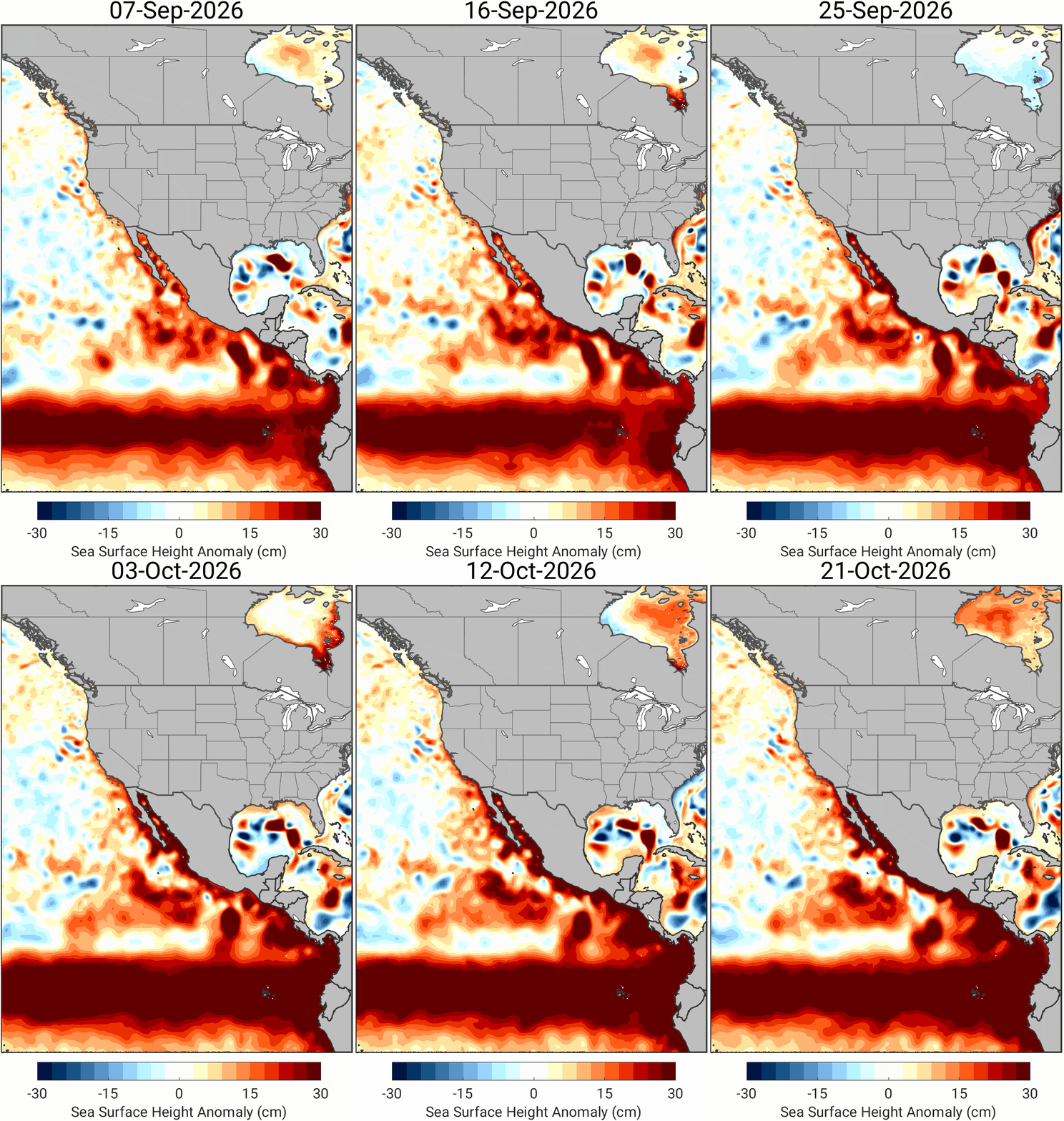
Along San Pablo Bay, San Francisco Bay, and the Pacific Coast, forecasters expect high tides, swells from post-tropical cyclone Rachel, a deep-ocean wave or Kelvin wave caused by El Niño, larger surface waves, and already above-average sea levels due to thermal expansion to bring floods.
El Niño is marked by warming in the Pacific Ocean’s surface layer, and Kelvin waves are the delivery system for warm water associated with El Niño. As tropical trade winds slow or reverse, ocean water slowly sloshes east, eventually smacking into South America and moving north and south. That deep ocean wave, moving under the ocean’s cold and warm layers, travels about 6 miles per hour and can cause up to a foot of temporary inundation for weeks or months.
“Roads may be closed due to the low-lying areas being inundated with water. And if you do come around them, don’t drive around them because you don’t know the depths of the water,” said Karleisa Rogacheski, a meteorologist with the weather service’s Bay Area office.
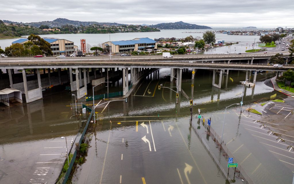
Kristina Hill, a UC Berkeley environmental planning professor and sea level rise expert, wrote on Bluesky on Sunday that tides were “running really high,” about 12 inches above normal, with significant flooding in Marin County at Tam Junction. Another Bluesky user wrote Sunday that the “bike path (is) under water” near Mill Valley.
As a result, the service has issued a coastal flood advisory through 3 p.m. Tuesday for minor coastal flooding. Oceanographers suggest coastal residents pay close attention to flooding up and down the coast, from San Diego to Marin County, as a precursor to what’s to come as the state stares down the effects of a developing El Niño.
Dillon Amaya, a professor at North Carolina State University studying how climate change affects U.S. coastal waters, said warmer ocean-driven sea level rise, Kelvin waves, and surge from tropical cyclone Rachel are driving flooding in Southern California — and could foreshadow similar conditions elsewhere in the state this winter.
“When you have something like Rachel kicking up storm surge on top of the Kelvin wave, that’s when you get concerned,” Amaya said. “In places like Long Beach, in Newport, some of that flooding almost certainly was exacerbated by the background conditions.”
This fall, there’s an 83% chance that this year’s El Niño will become “historic” heading into winter, according to an October outlook from the National Oceanic and Atmospheric Administration’s Climate Prediction Center.
Michael Beck, professor and director of the Center for Coastal Climate Resilience at UC Santa Cruz, said the current Kelvin wave is likely peaking in San Francisco as of Monday.
“We can only tell you how big the Kelvin wave itself was once it’s passed,” Beck said. “But of all the El Niño components in Monterey Bay, we peaked at about 15 inches above normal.”
Beck said he expects the Bay Area to peak at just under 15 inches. But Amaya said it’s hard to know exactly how much of the 1 to 1.5 feet of tide-gauge anomalies in Southern California and the Bay Area “is from the Kelvin wave versus other factors.”
“This is classic climate system stuff,” Amaya said. “It’s a noisy system, and it can be very difficult to peel back the layers to see what’s what, but we had the good fortune of being able to see this Kelvin wave several weeks ago, and then we had the misfortune of having two back-to-back tropical storms between Polo and Rachel.”
The big deal with flooding comes when a “triggering factor” like a tropical storm “kicks up storm surge on top of the Kelvin wave.” Amaya said other parts of California should begin to prepare for storm-related flooding on top of the waves — because the stormy season is still ahead for much of the state.
“The El Niño-driven storminess is still to come,” Amaya said. “All of that is still to come. I don’t know if it’s going to reach the level of Rachel in terms of storm surge or wind-driven swells, but certainly we expect those stormier conditions to occur later in the year.”
Beck said the storms “are the real kicker” for the Bay Area and can cause coastal and inland flooding when water levels are higher.
“Our winter storms come straight at us with really huge waves,” Beck said. “If they’re riding 15 inches to 20 inches when we’ve got full El Niño warming and depending upon the size of the Kelvin wave, that’s a lot of water and can hit in exactly the places where you don’t want to hit, like on roads or houses.”
Amaya said as many as six Kelvin waves can occur within an El Niño year. He suspects that the current Kelvin wave boosted sea levels by about six inches in the Bay Area. Amaya said another Kelvin wave is moving up the coast and is currently right around the Gulf of California.
“It would be about three weeks before it would reach the Bay Area,” Amaya said.