This Weekend, an El Niño-Driven ‘Kelvin Wave’ Will Raise Bay Area Sea Levels and Flooding Risk
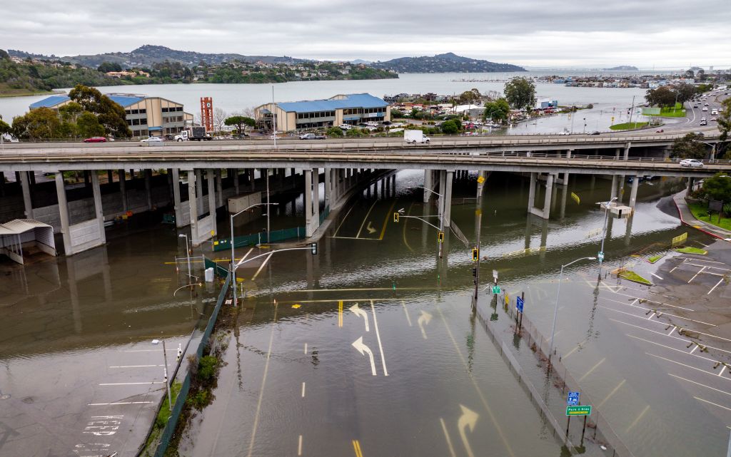
Scientists warn that a deep ocean wave driven by El Niño conditions could raise Bay Area sea levels by as much as 9 inches by early next week. That’s on top of sea levels already more than 6 inches above predicted levels because of warm water along the West Coast.
Ocean scientists in Santa Cruz said they began noticing the change in water levels on Friday.
“We’re just beginning to see the first increases in sea levels associated with the current Kelvin wave,” said Mike Beck, director of the Center for Coastal Climate Resilience at UC Santa Cruz. “By the end of the weekend we should probably see water levels a foot and a half above normal.”
Santa Cruz-based swimmer Anna Wolfe-Pauly went swimming with a group at Cowell Beach on Friday morning when she noticed the waves were bigger than normal.
“I was thinking maybe we need to get out of the water because it felt so severe to me,” Wolfe-Pauly said. “My friends were swimming about 200 yards ahead of me, and then all of a sudden I just couldn’t see them anymore, and I was like, that is a lot of water that just descended on the beach.”
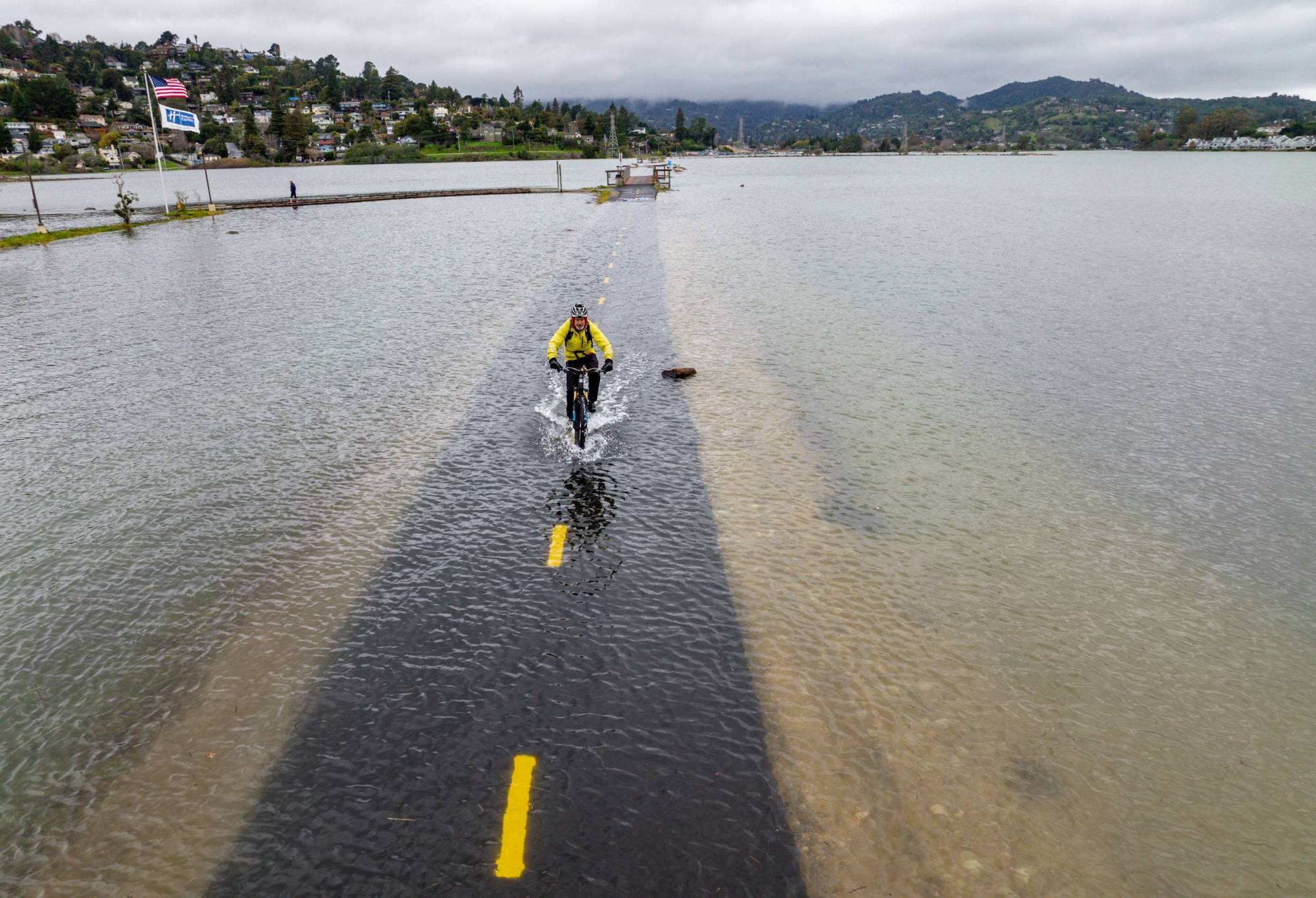
Researchers call the pulse of water moving up to the coast a “Kelvin wave” and said it will deliver even more El Niño-associated warm water.
“Kelvin waves are a symptom of El Niño,” said Dillon Amaya, a professor at North Carolina State University who studies how climate change affects waters off the U.S. coast.
There’s an 83% chance that this year’s El Niño will become “historic” this fall into winter, according to an October outlook from the National Oceanic and Atmospheric Administration’s Climate Prediction Center.
El Niño is marked by warming in the Pacific Ocean’s surface layer. When tropical trade winds weaken or reverse, warm ocean water near Asia can slosh toward the Pacific Coast. That warming has many effects: it can reshape the jet stream and bring stormier weather, disrupt the ocean’s nutrient-rich upwelling, heat coastal waters, raise sea levels and stress marine life.
Sean Vitousek, a research oceanographer with the U.S. Geological Survey, said it can also trigger Kelvin waves deep in the Pacific Ocean.
The energy first moves toward South America, and when it hits land, it splits and shifts north and south.
A Kelvin wave isn’t a surface wave like a tsunami or a “wall of water that’s moving up the coast or a wave that you can surf or that you’re going to see from the beach or from a boat,” Amaya said.
But rather, it’s “a disturbance inside the ocean” moving up the coastline a little bit like the wave that travels around a sports stadium, said Severine Fournier, an ocean scientist at NASA Jet Propulsion Laboratory in Pasadena.
“The wave travels around the stadium, but the people don’t run around,” Fournier said. “The disturbance gets passed to the next person, and that disturbance is the sea level rise deepening the warm layer of the ocean.”
During an El Niño year, as many as six Kelvin waves can occur, and the temporarily high seas can last from days to weeks to months. Amaya said a first Kelvin wave moved up the coastline in May and June. A second wave is traveling about 6 miles per hour northward along the California coastline. Amaya said signs suggest a third wave is propagating around the equator.
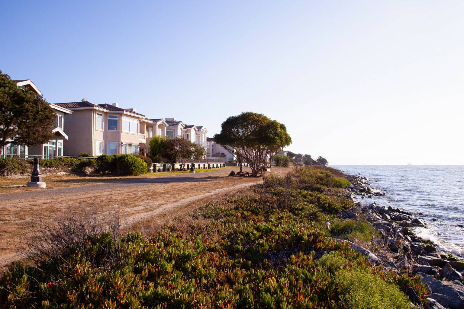
Researchers worry that the extra push from these Kelvin waves alone will flood coastal areas, worsen erosion and challenge places like Santa Cruz or Pacifica with old sea walls that wrap along the water’s edge. But if the waves arrive during high tide or storms, scientists say flooding could hit low-lying areas like Santa Cruz, Marin County or downtown San Francisco.
“The real concern is an increase in water levels when they come with really extreme wave events, and by the time we get to December, when we get our highest tides of the year, that’s when I have really great concerns,” Beck said.
Vitousek said high tides, called spring tides, will push above 6 feet around Oct. 11 and peak on Oct. 27 at 6.68 feet along San Francisco. King tides in late November could rise over 7 feet, and that will be “on top of the Kelvin wave,” Vitousek said.
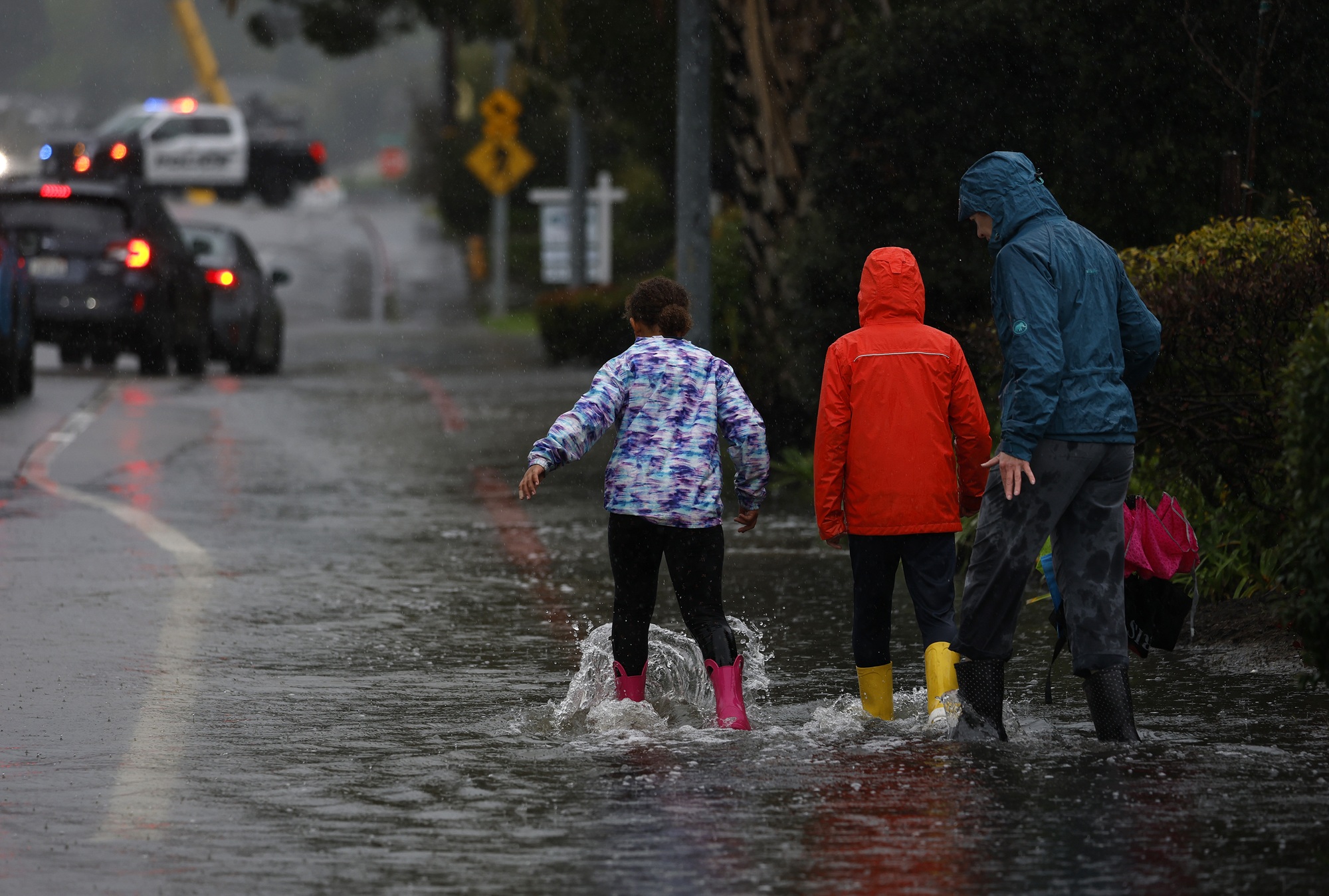
“That can create a situation where water is getting above critical thresholds that can cause more flooding, more cliff erosion, more dune erosion, more beach erosion,” Vitousek said.
Amaya said he wants to “temper expectations” and said the Kelvin wave is still weeks away from impacting the region.
“I’ve seen some people who are so concerned that they’re like making a run at Costco for water bottles, but that’s not where we’re at yet,” Amaya said.
Fournier wants people to understand that this Kelvin wave results from El Niño conditions.
“Whatever impacts we see in California, they’re a consequence, but El Niño is not coming,” Fournier said. “Sometimes people can’t differentiate the two.”