‘Enormous Waves’ and Triple Storms Target Greater Bay Area Starting Friday
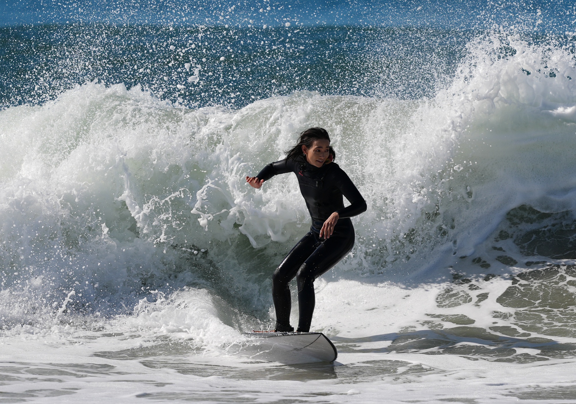
Oh, the wind and rain. Dangerously large waves and high seas. Three storms over the next week will likely add to raucous conditions along the Pacific coast and Bay Area, beginning Friday.
The first storm dipping down from the Gulf of Alaska will reach the North Bay on Friday morning, National Weather Service forecasters said, and reach into the San Francisco Bay region by early afternoon, with lingering showers into the evening. They expect the North Bay to get up to 1.2 inches of rain, with the rest of the region projected to receive up to .8 inches of rain. There’s also a 15% chance of thunderstorms.
“We are not expecting widespread flooding as we are not seeing this system stalling over any given region, so it should be mostly beneficial,” said Roger Gass, a meteorologist with the National Weather Service’s Bay Area office.
Gass said the service isn’t considering the storms to be part of an atmospheric river because they aren’t slow-moving and aren’t forecast to stall over the region like those massive rivers in the sky do, which can cause issues like flooding.
“We’re not going to have much runoff,” Gass said. “It should absorb into the ground, especially since it’s one of our first systems of the season.”
A second system is set to arrive Sunday, seeping into Monday. “While the rain totals are still being refined, the pattern looks to be broadly similar to Friday’s system,” meteorologists wrote in their daily forecast discussion on Thursday. A third system will follow by mid-next week, but forecasters said the details are still uncertain.
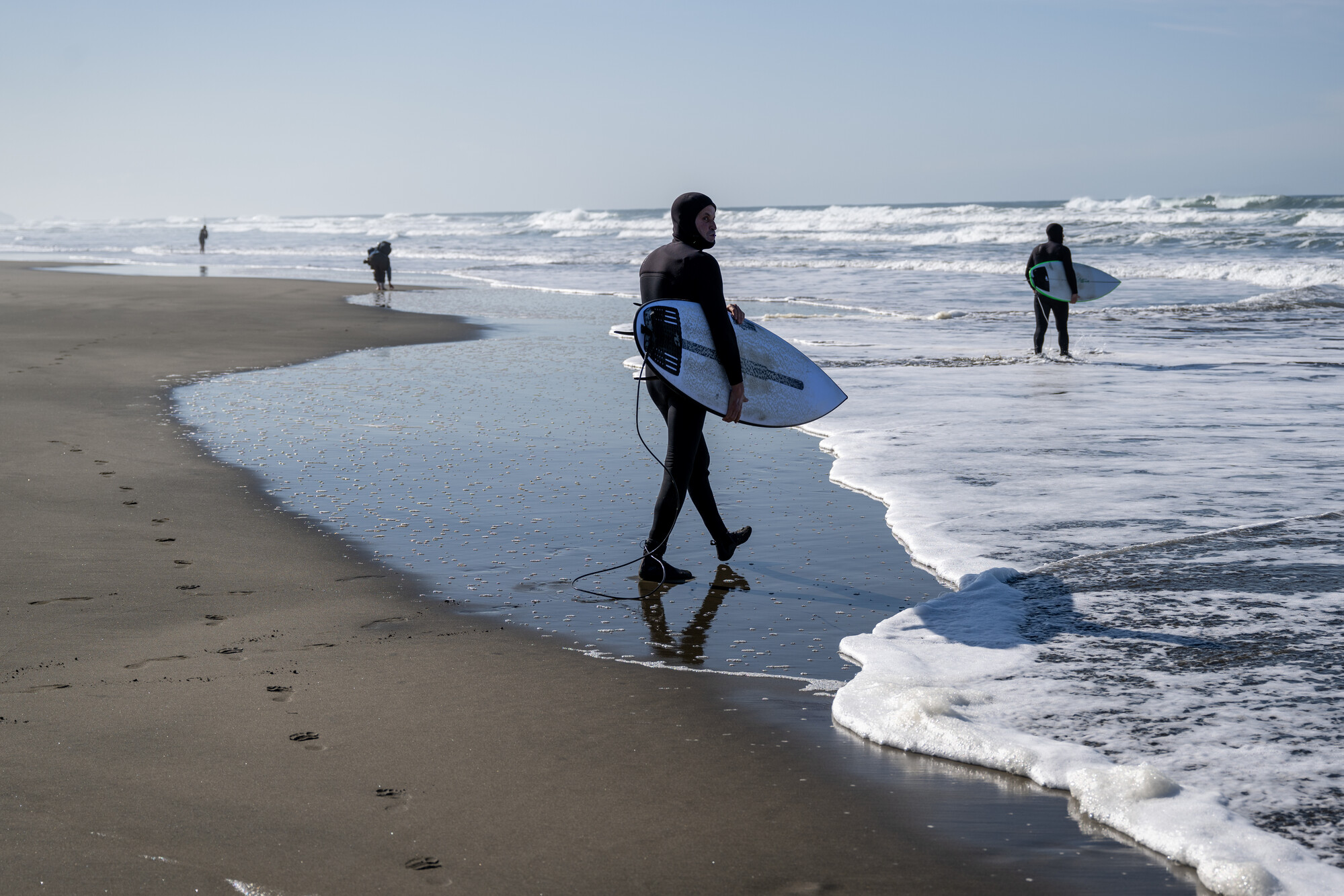
Beyond wet weather, forecasters expect dangerously large waves along the coast from Monterey to the north, which can overpower swimmers and pull people into the sea. From Friday night to Sunday, waves along the coast could reach over 35 feet, with occasional 50-foot waves at popular surf spots like Mavericks along the San Mateo County coastline. Strong rip currents and sneaker waves are also possible this weekend, which could drag people or pets into the sea.
“There are going to be enormous waves along the Northern California coast beginning this weekend that could actually be very problematic and very dangerous if you’re out there on the beach,” said Daniel Swain, a climate scientist with UC Agriculture and Natural Resources in his YouTube office hours on Thursday.
Swain said a potential storm surge of about a foot could make waves even taller.
“Not only will huge waves be crashing at the coast, but they’re going to be crashing maybe 2 feet higher, vertically,” Swain said. “They’re going to be breaking higher and farther inland and causing more erosion than usual. This is an especially dangerous weekend in terms of that coastal surf.”
NWS has issued a coastal flood advisory through Friday for the region due to elevated water levels during peak high tide. San Pablo, San Francisco and Monterey Bays will, as they have periodically for weeks now, experience up to 1.5 feet of inundation in low-lying areas. Tides will reach their peak in San Francisco between noon and 1 p.m. on Friday.
“We’re going to see some coastal flooding again this weekend,” Swain said. “It could even be significant, because there’s going to be large waves, and in this case that’s going to significantly increase the risk along the oceanic coast.”
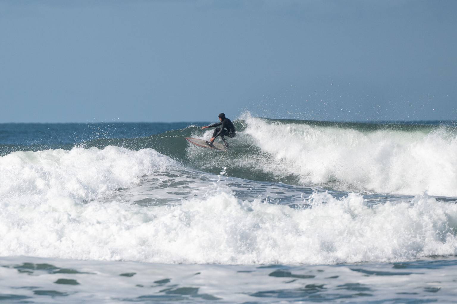
The possible flooding is caused in part by high astronomical tides and the effects of El Niño warming and expanding the Pacific Ocean.
“The risk of drowning is very high this weekend,” forecasters wrote. “Do not go in the water, avoid climbing on the rocks or leaning over seawalls and never turn your back on the ocean.”
San Francisco issued a warning on Instagram, instructing the public to “avoid flooded roads and sidewalks” and “stay out of the water” this weekend. City officials recommended calling 311 for nonemergency flooding, clogged drains or fallen trees.
Over the second half of November, Swain said the Bay Area could be very wet, with a range of possible rain scenarios — of 2 to 10 inches.
“This is actually a very wet forecast on average for Northern California,” Swain said. “If we do get something closer to the 5- to 10-inch range, that would actually be closer to records. So again, probably won’t be a record-breaking month, but it could be.”
Swain said he is particularly worried that a round of king tides, the highest of the year, could coincide with storms and the thermal expansion from El Niño.
“The king tide periods from late November through late January remain periods of very high concern for widespread and potentially significant, maybe even record-breaking coastal flooding,” Swain said.
Even places not along the coast, Swain said, but inland along the San Joaquin-Sacramento River estuary could see significant record-breaking flooding this winter.
Swain also said that every major global model forecasts a wetter-than-average winter for California. That signal is strongest in Southern California, but also for Central California — which includes the Bay Area — and is remarkably “robust” for this time of year.