A Kelvin Wave on Top of El Niño? What Bay Area Hikers, Bikers, Swimmers and Campers Should Know This Winter
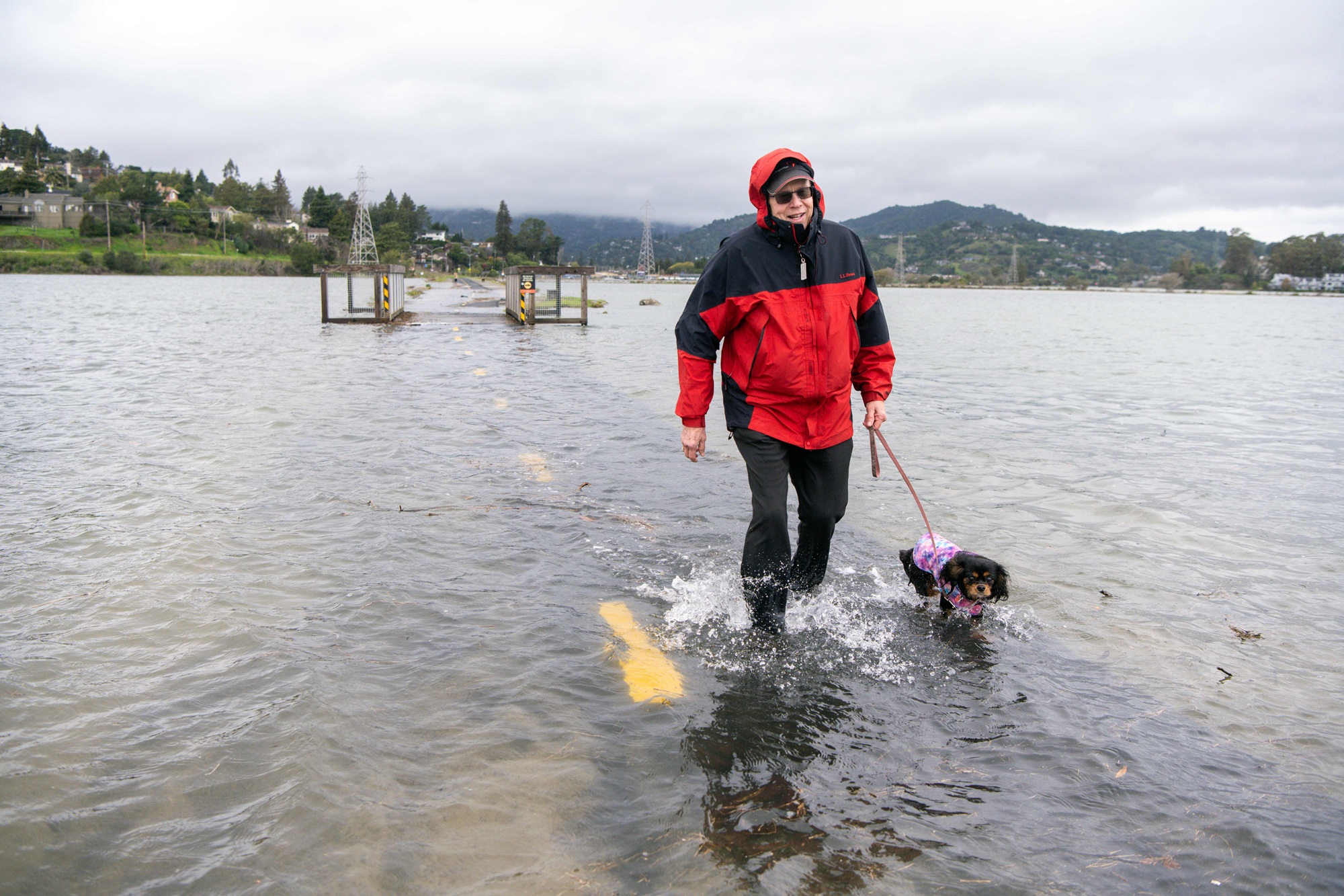
The latest El Niño forecasts show the Bay Area could be in for a particularly wet winter, affecting any late-season outdoor trips locals typically save for the region’s “second summer” in October.
But a new threat on the horizon, called a “Kelvin wave,” could also spoil plans for late-season hiking, biking and water sports.
First predicted to hit in mid- to late-October, this warm-water phenomenon could raise Bay Area sea levels by up to a foot. On top of already-high sea levels, potential wet weather and seasonal King Tides, coastal regions could be in for some pretty severe flooding.
So if you’ve got a coastal campsite booked, maybe a long bike ride up to Marin planned, or a kayaking or swimming trip coming up this fall, be aware: Higher water levels are expected and might affect your plans.
Read on for more information, broken down by activity:
Beware of debris and high shorelines while swimming and kayaking
A main signal of this year’s expected “super El Niño” is particularly warm water in the Pacific Ocean. While that might sound ideal for swimmers, Sylvia Lacock, co-founder of Pacific Open Water Swim Co. and a master captain, said otherwise.
First, she said, her clients who actively seek out cold-water swimming to qualify or train for international competitions are having to push their scheduled swim dates back deeper toward winter. But more relevant to casual swimmers, she said, is that flooding due to higher tides and sea levels could engulf beaches and docks, making getting in the water to enjoy it difficult.
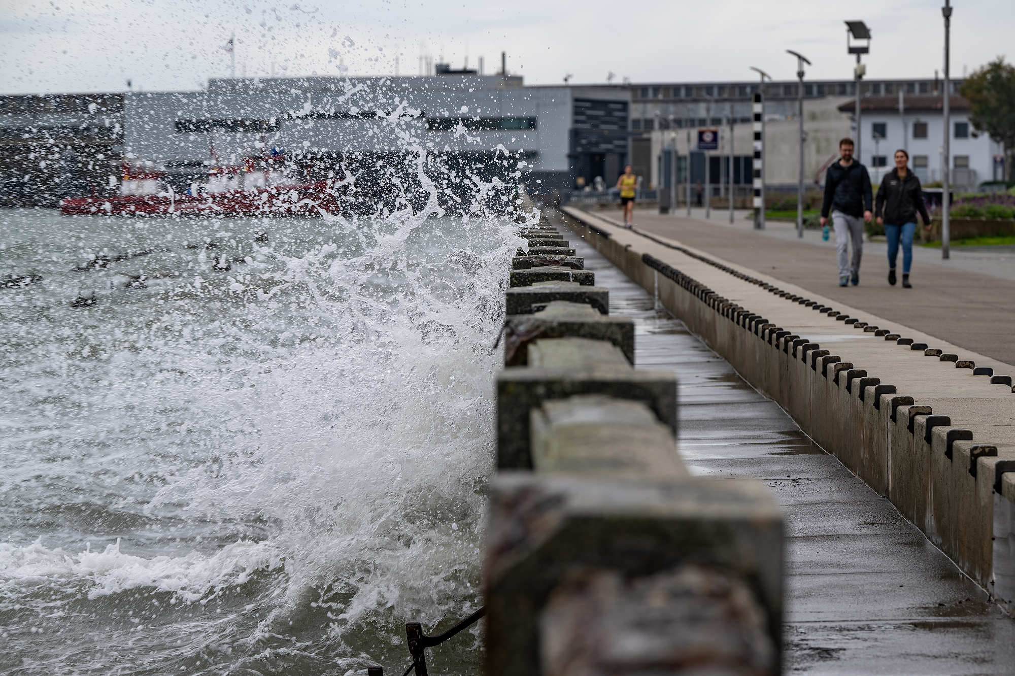
“Constant rain, constant storms, how it ends up impacting kite surfers, windsurfers and swimmers, is that with a higher tide, we lose beach,” she said. “So if you’re used to having a lot of beach to maybe go in and off of in Aquatic Park or at Crissy Field, you might find that that beach feels a lot smaller just because the water’s up a lot higher.”
Galen Licht, CEO and co-owner of kayak rental company SeaTrek, said a group of high school students on a trip to Angel Island last week struggled with the already-high tides.
“The beach was nearly gone, and [on] the walkway that we would normally take to get up to the campsite, they were walking in waist-deep water,” he said. “It kind of caught us off guard a little bit.”
Plus, Lacock said, areas around shorelines could also be flooded with debris, adding hazards to the water for swimmers.

“Every single year we see this,” she said. “When we have storms that come through, now add a higher tide to it. Whether it’s piers or docks, that breaks off and it ends up floating in the Bay.”
For boaters, these floating hazards are an added challenge, she said. Swimmers have to watch for broken pieces of piers and even kite surfers may have to worry about “items that may be just submerged under the surface of the water,” she said.
Lacock said she’s particularly concerned about the area around San Francisco’s Muni Pier, which has been in disrepair since it closed in 2022 due to structural damage from an earthquake.
Licht, whose company operates kayak launches in Alameda and Sausalito, said he is “making sure things are extra tied down” and “preparing to be more flexible than ever this winter.”
In general, Lacock said swimmers against getting into the water immediately after a storm, especially the first big storm of the winter season.
“You may want to not be in the water for the first 24 or 48 hours after that,” she said. “We like that tide cycle to kind of flush that water out.”
Watch for flooding on popular hiking and biking trails
The compounding effects of higher sea levels, Kelvin waves, King Tides and whatever else this El Niño winter might bring won’t just affect people recreating in the water.
Dan Sauter, operations superintendent for Marin County Parks, said his agency is preparing for the potential “stacking” of higher tides onto its bayside parks and open space preserves.
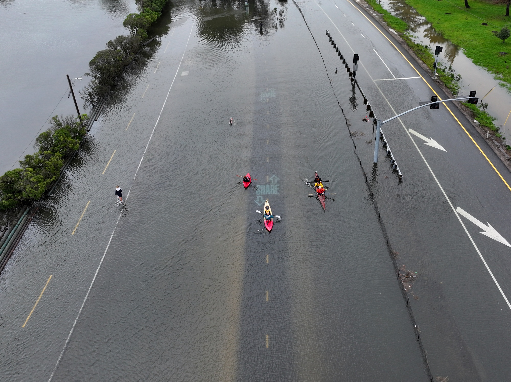
Over the past few weeks, the Mill Valley-Sausalito multi-use path — a connecting route for bikers and hikers that routinely floods in winter — has already been submerged, he said.
Typically, the path floods when tides are about 6 feet high, he said, but that number could go down if there are more factors in play.
“We’re expecting the tides to impact it at a lower projected tide number,” he said.
In fact, the multi-use trail floods so often that there is currently an effort underway to redesign it, said Rob LaPorte, a senior project manager with the Golden Gate National Parks Conservancy who has been working on improvements to the trail. He said rerouting the path isn’t particularly feasible given its location sandwiched between the bay and Highways 1 and 101.
“We’re looking at significantly raising it by approximately 6.5 feet, 7 feet just to make it more storm proof,” he said. “And then we’re also looking at ways to restore the natural processes at this marsh to help that ecosystem adapt to higher waters.”
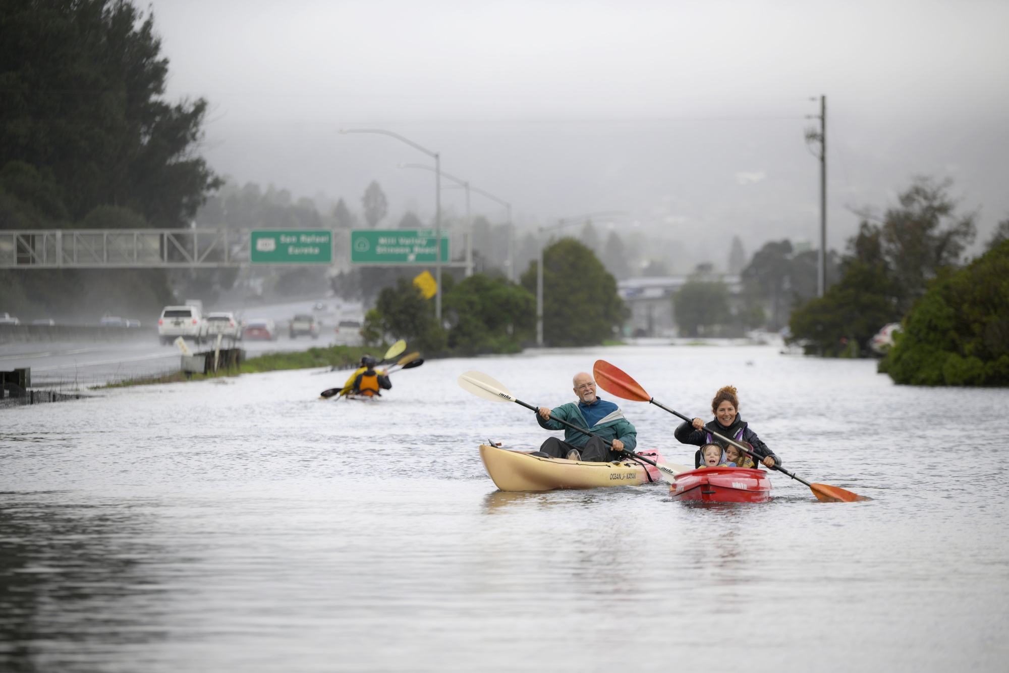
SeaTrek’s Licht said some customers even rent kayaks in Sausalito specifically to paddle through the flooded marsh.
“It’s wild,” he said. “Literally our kayakers can paddle across the bike path — and they do.”
Also of concern in Marin County are the Miller Boat Launch in Tomales Bay, Black Point Boat Launch in San Pablo Bay and McNears Beach and McInnis Park in San Rafael.
Sauter said Marin County Parks stations rangers around the multi-use trail and other parks to let people know about potential flooding or advise them when trails are closed. They’ve even started pre-making signs to put up advising hikers and bikers to prepare for flooding impacts.
“If a storm is significant, we may be closing regional parks or areas that are unsafe to visitors,” he said. “So we’re prepared to do that.”
LaPorte said his main concern going into this potentially historic winter is that park infrastructure, designed to handle historical averages of rainfall, may not be up to the task.
“With this El Niño event and the potential for big storms that are associated with climate change — and then add on top of that the Kelvin wave — we’re just anticipating there being a lot more water that’s affecting trails throughout the parks,” he said.
Sauter said hikers and bikers simply to stay home during a storm.
“It’s always a good idea to check your weather when you’re heading out and your tide logs,” he said. “There’s a good chunk of people that aren’t expecting to come across a multi-use path underwater on just a regular nice day. But it does happen out there.”
After a storm, clearing sediment and other debris off the path and other flooded areas also takes time, Sauter said, so be patient.
“We’re all expecting the worst and hoping for the best and preparing for anything,” he said.
Stay tuned for coastal campground closures
If you’ve got fall camping plans, particularly if your site is on or near the bay or ocean, be sure to double-check your reservation is still on before you head out.
Peter Ostroskie, spokesperson for California State Parks’ Bay Area district, said anyone with a camping reservation this winter should check the website of the park they’re going to before heading out. Some state parks also use social media to keep visitors informed, he said. And if you’re ever in doubt about safety or weather conditions at a park, you can always call the number of the park listed on its website for the most up-to-date information.
“We’re happy to give you updates or let you know what’s going on and what are the conditions right now,” he said.
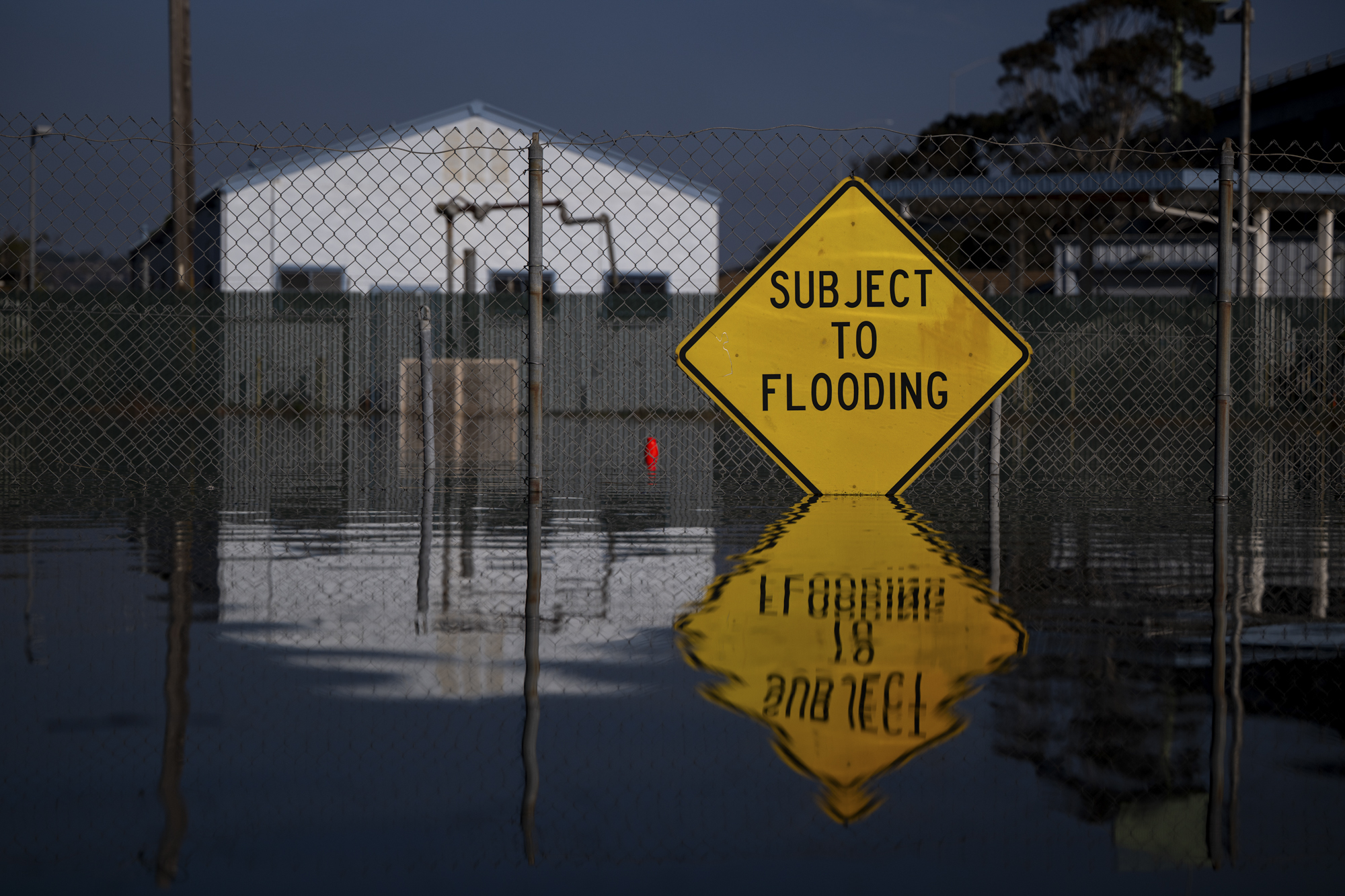
If you are planning to camp during wet weather, make sure you have the proper gear and are prepared to leave in case of emergency. Ostroskie said state parks staff are preparing for a wet winter by staging equipment and readying communications to handle potential flooding or other effects of rising sea levels.
Parks like Angel Island, China Camp, Tomales Bay, Mt. Tam and Candlestick are of particular concern, Ostroskie said.
He said he’s also worried about a park like Samuel P. Taylor State Park, whose Lagunitas Creek can rise dramatically during storms.
“The creek floods really high, so we actually close off the creekside campground,” he said.
Landslides and fallen trees and power lines are also typical stormy weather concerns for parks, Ostroskie said.
For oceanside campgrounds, bad weather and consistent big waves can threaten infrastructure, he said.
“It’ll probably take us a little bit longer to open up the season, especially when we hit spring and summer, just because we’ll be doing repairs and fixing things,” he said. “And sometimes that takes a little time.”