California Could See the Highest Sea Levels on Record This Year, Thanks to El Niño
California could see the highest sea levels on record this year, thanks to a historic El Niño, climate change and extreme tides.
It’s the latest forecast for what’s expected to be a historically strong season, one that could cause major flooding and widespread damage in the Bay Area.
“Folks who really think about coastal risks are very concerned that the single highest sea levels are quite possible this winter in California, and that is going to be a problem,” said Daniel Swain, a climate scientist with UC Agriculture and Natural Resources, during an online talk on Monday. “This is almost certainly going to happen.”
The warning comes as the National Weather Service on Monday warned king tides may cause minor flooding along the Marin County coastline and along Bay Area shorelines this week through Thursday morning.
Forecasters said they’re anticipating coastal flooding during the “highest high tides,” expected around 6 p.m. and 10 p.m. this week.
Dial Hoang, a meteorologist with the National Weather Service, said that low-lying coastal areas near the San Francisco, San Pablo and Monterey bays, such as Manzanita in Marin and the Embarcadero in San Francisco, are most likely to be impacted by high tides.
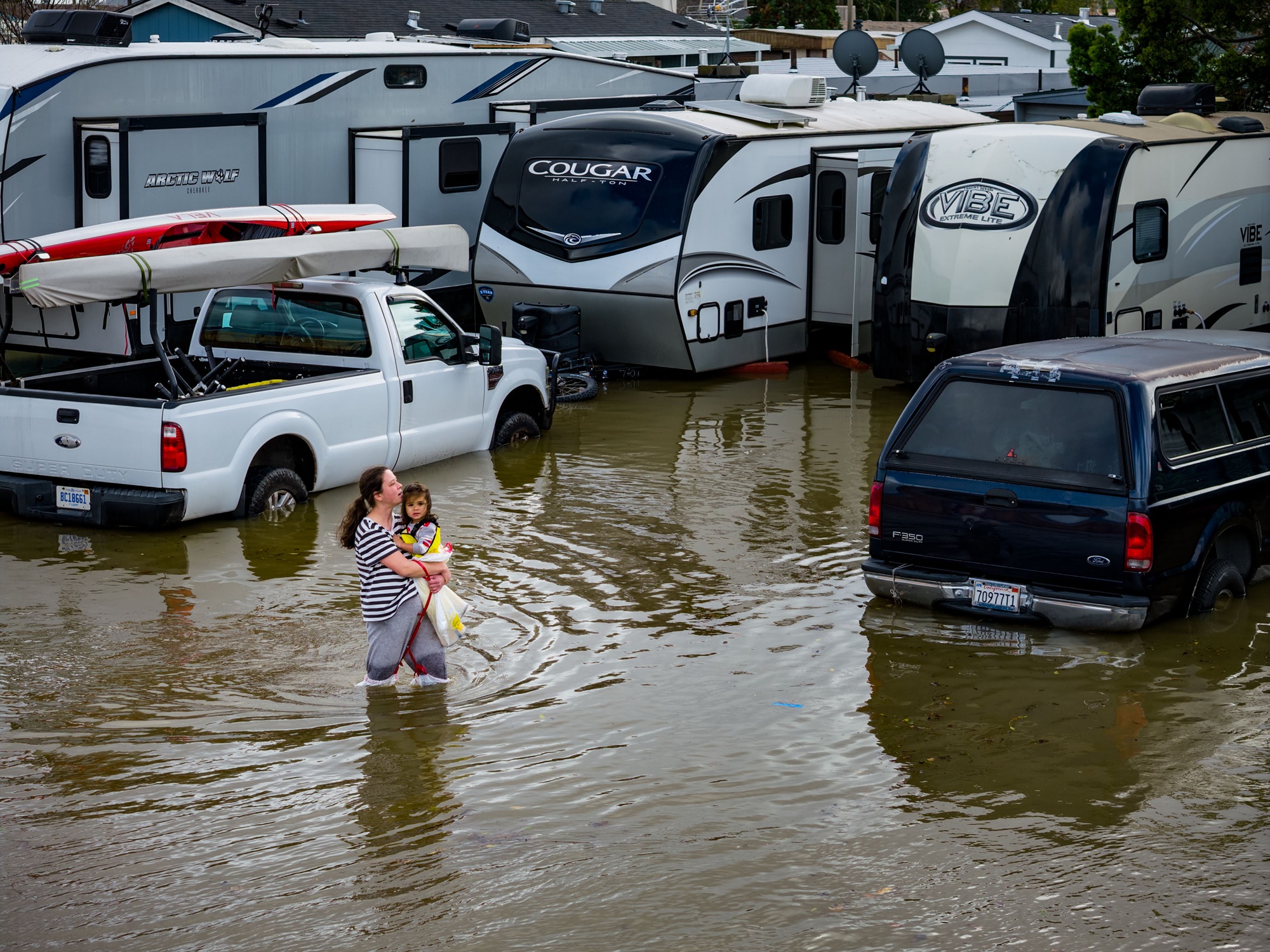
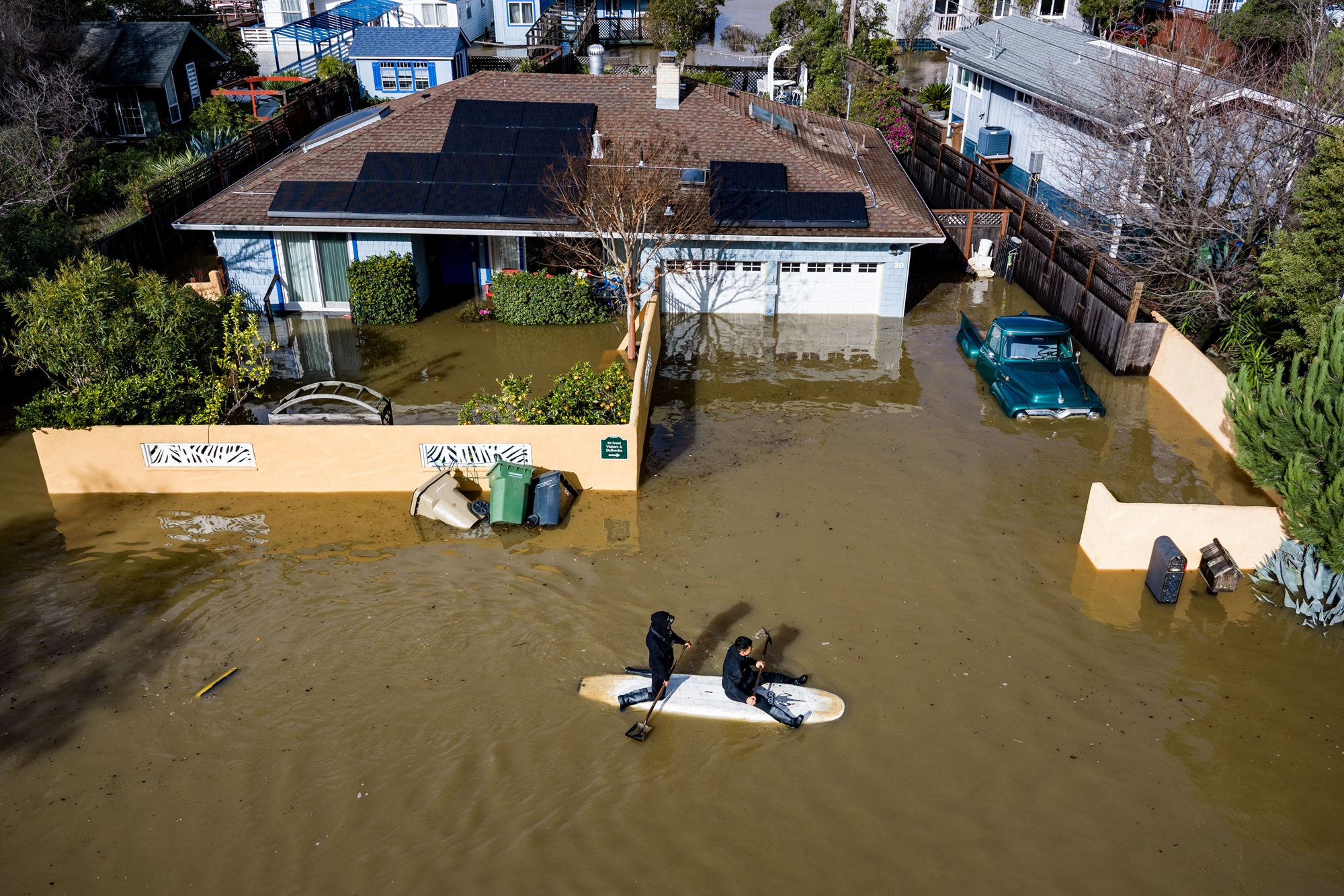
In January, a combination of king tides, climate change and winter storms wreaked havoc in Marin County — flooding highways and damaging hundreds of properties. This week’s tides are expected to be lower, reaching around 6.96 feet in San Francisco, compared to a high of 7.16 feet in January.
Though relatively minor compared to last winter’s storms, Hoang still advised residents with flood-prone properties to sandbag their homes and reminded all residents to avoid driving through flooded roads.
In the Bay Area, where sea levels have risen a foot over the last century, El Niño seasons in 1982-83, 1997-98 and 2023-24 caused noticeable peaks, according to data Swain cited from Mark Merrifield, director of the UC San Diego Scripps Institution of Oceanography’s Center for Climate Change Impacts and Adaptation.
Hoang said sea levels in the Bay Area have already risen by about half a foot, partially due to El Niño’s warming of the ocean, causing water to expand as temperatures rise.
This increase, Swain said, is expected to grow stronger with time.
“This event is going to be one for the record books and in a lot of ways it already is, and the trajectory is still toward strengthening in the coming weeks,” he said.
Swain emphasized that coastal flooding would be a major risk in the winter — not just along the coast but also along the state’s bays and estuaries, and including water in California’s interior.
“You go into the Golden Gate,” he said, “you go north through the San Pablo Bay, you go into the Carquinez Straight, you keep going east into the Delta Slough, even to the lower reaches of the Sacramento River and the San Joaquin River, you can get to Stockton and still have a tidal influence.”
Swain added that low-lying roadways, including Highway 1 and Highway 101, will be vulnerable to sea level rise.
KQED’s Jose Velazquez contributed to this report.