El Niño Forecast Is ‘Off the Charts.’ What Could This Mean for Ski Season?

With ski season right around the corner, all eyes are on this year’s “super” El Niño forecast.
And meteorologist Alan Smith, who makes North America predictions for the ski-oriented weather service OpenSnow, has called the readings he’s seeing “off the charts.”
After last year’s dismal ski season, hope is building among skiers and snowboarders that the weather patterns typically associated with El Niño – like increased snowfall – could bless the Sierra Nevada with an abundance of storms and snow this year.
To find out what the forecast could actually spell for winter in California, Smith agreed to answer a few of our most pressing questions.
Read on to find out:
- How should I understand this current winter forecast?
- How does El Niño affect snow in the mountains?
- Should I already be making my ski plans based on this?
What is a ‘super El Niño’?
El Niño is a climate pattern that brings unusually warm ocean temperatures in the Pacific Ocean near the equator. The National Oceanic and Atmospheric Administration says fishermen off the coast of South America were the first to recognize it.
Historical data from El Niño seasons show that, as a result of these higher sea surface temperatures, storm systems can bring above-average precipitation to parts of the United States.
This year, Smith said, his predictions for ocean temperatures are “in record territory,” which could result in a wet winter for the West Coast – hence the “super” characterization.
To be clear: Meteorologists can’t predict exactly when or how much it might snow in the Sierra — or anywhere else, for that matter. And OpenSnow’s Sierra Nevada forecaster Bryan Allegretto said it’s too soon for him to be predicting what weather might shake out in the region.
What Smith and others can predict are sea surface temperatures, which can heavily influence the amount and timing of precipitation across the globe.
Smith said he will typically make multiple updates to the forecast throughout the end of summer and into autumn. But this year, he said, the signals are so strong that “I’m not sure that we’re going to change much.”
“We’re so confident that this is going to be a very strong and potentially record-setting El Niño,” he said.
What does this mean for the Sierra snow forecast?
“With a stronger El Niño, it tends to tip the odds in favor of above-average snowfall in the Sierra,” Smith said.
He did offer caution, however.
“It doesn’t necessarily mean it’s going to be, like, a massive 2023-style winter,” Smith said, referring to the 2023-24 ski season that dumped heavy snowfall on the region, erasing a two-decades-long megadrought.
“But it just tips the odds more toward it being above, at least, the average levels, more so than it does a below-average season,” he explained.
How is this El Niño forecast calculated?
Smith explained that his forecasts are made based on measurements from past seasons with “similar attributes to this one.”
So he looks at factors like sea surface temperature to understand what might be coming. In this case, the “ENSO” – the El Niño-Southern Oscillation – is a particularly powerful climate phenomena in which sea surface temperatures can directly affect precipitation.
This year’s El Niño is concentrated in the eastern area of the Pacific Ocean, Smith said, and it’s expected to peak early in the winter. “Which is, kind of, a classic strong-to-super El Niño timing,” he noted.
Smith said he also analyzes winds in the tropics, and he’s seeing conditions that could favor low-pressure patterns along the West Coast.
Historical records, he said, are making the case for a strong El Niño, but “even the seasonal models are pretty wet in their projections for California in the Sierra this year, so that gave us a little extra confidence.”
Will this winter’s snow be good to ski on?
It’s not all good news for winter-sports enthusiasts. Smith said that stronger El Niño winters like this one “tend to run a little warmer overall in terms of temperature.”
“It doesn’t mean it’s going to be as warm as what we saw last winter, which was abnormally warm for pretty much the entire West,” he said. “But it does mean that, when we look at the winter as a whole, we tend to see a little bit of an above-average trend.”
That means the winter could bring some particularly heavy, wet snow, like the famed “Sierra Cement” that isn’t everyone’s favorite to ski on because of its heavy nature.
Likewise there could be storms where only higher elevations get snow, while lower-elevation mountains are pummeled by rain.
“So it’s not necessarily a great signal for lots of cold, powdery storms,” he said. “I certainly think we will see a mix this winter.”
As for when to expect a dumping, Smith said his readings for the Sierra Nevada range are currently showing the “strongest signal from January to March.”
Should I be making my ski plans now?
If you’re wondering whether to buy a ski pass this year, the super El Niño forecast is undoubtedly already bringing a lot of hype to ski resort marketing this season.
Still, Smith cautioned: “Don’t get too emotionally attached to these outlooks.”
His reasoning?
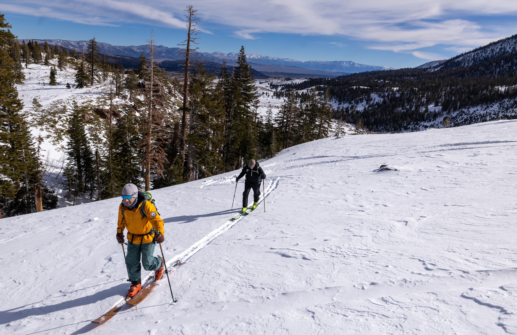
There’s always some uncertainty in forecasting, and there’s bound to be some ebb and flow when it comes to the actual weather, he said.
Plus, it’s way too soon to be targeting particular dates on when the actual rain or snow will fall, he added.
“It can fluctuate a lot within the season,” Smith said. “We can look at the season as a whole and make a prediction if it’s going to be above or below average, but it’s not going to tell you a whole lot if you’re trying to narrow down a specific week or day.”
“If you have a ski trip planned in January, it doesn’t mean it’s, like, a slam dunk,” he said.