Marine Layer Cools Bay Area After Record-High Temps, With Hotter Weekend Forecast
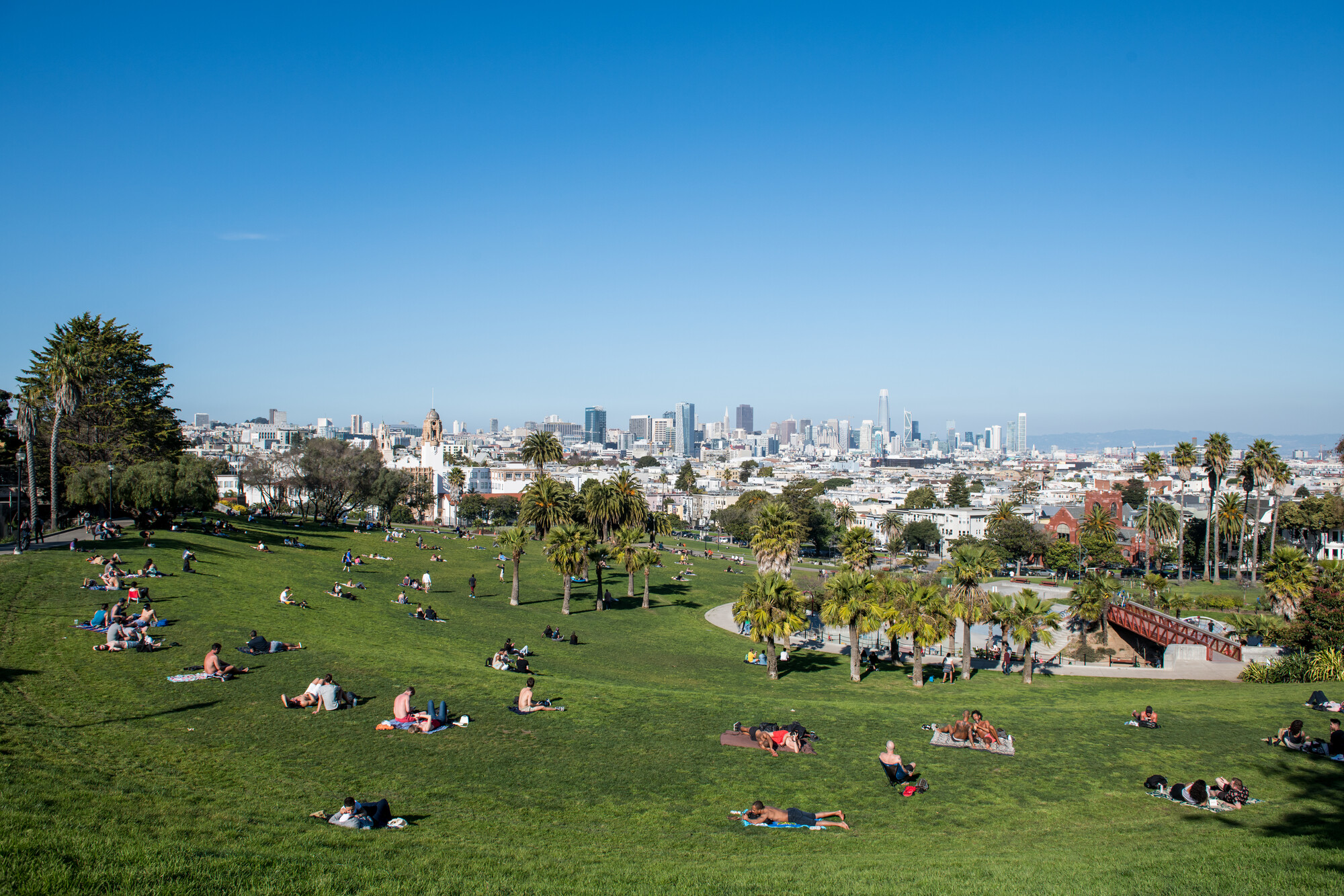
After a hot stretch, the Bay Area will feel a little damper, muggier and cooler on Wednesday before things heat up again over the weekend.
Roger Gass, a meteorologist with the National Weather Service, attributed the change to the return of a “well-established marine layer overnight.”
This classic Bay Area weather pattern, in which colder air gets trapped near the ground beneath a layer of warmer air, brought clouds into Marin County and a light rain in the Santa Cruz and Watsonville region this morning, Gass said.

“The humidity is definitely a bonus to fire suppression,” said Gass, referring to the Little Fire, which broke out near Pleasanton on Tuesday.
As of Wednesday morning, the fire crews halted the forward spread of the blaze and had reached 40% containment.
San Francisco recorded its hottest July day in 11 years on Tuesday, as much of the Bay Area withered under heat advisories. Those were lifted at 9 p.m.
The cooler temperatures on Wednesday will give way to warmer and drier conditions starting on Thursday and continuing into the weekend, according to the National Weather Service forecast.
The agency issued small craft advisories — weather advisories for boats — due to high winds for places like Monterey Bay, Point Reyes and Pigeon Point.