California Hurricane? Not Likely, but Rain Could Be on the Way
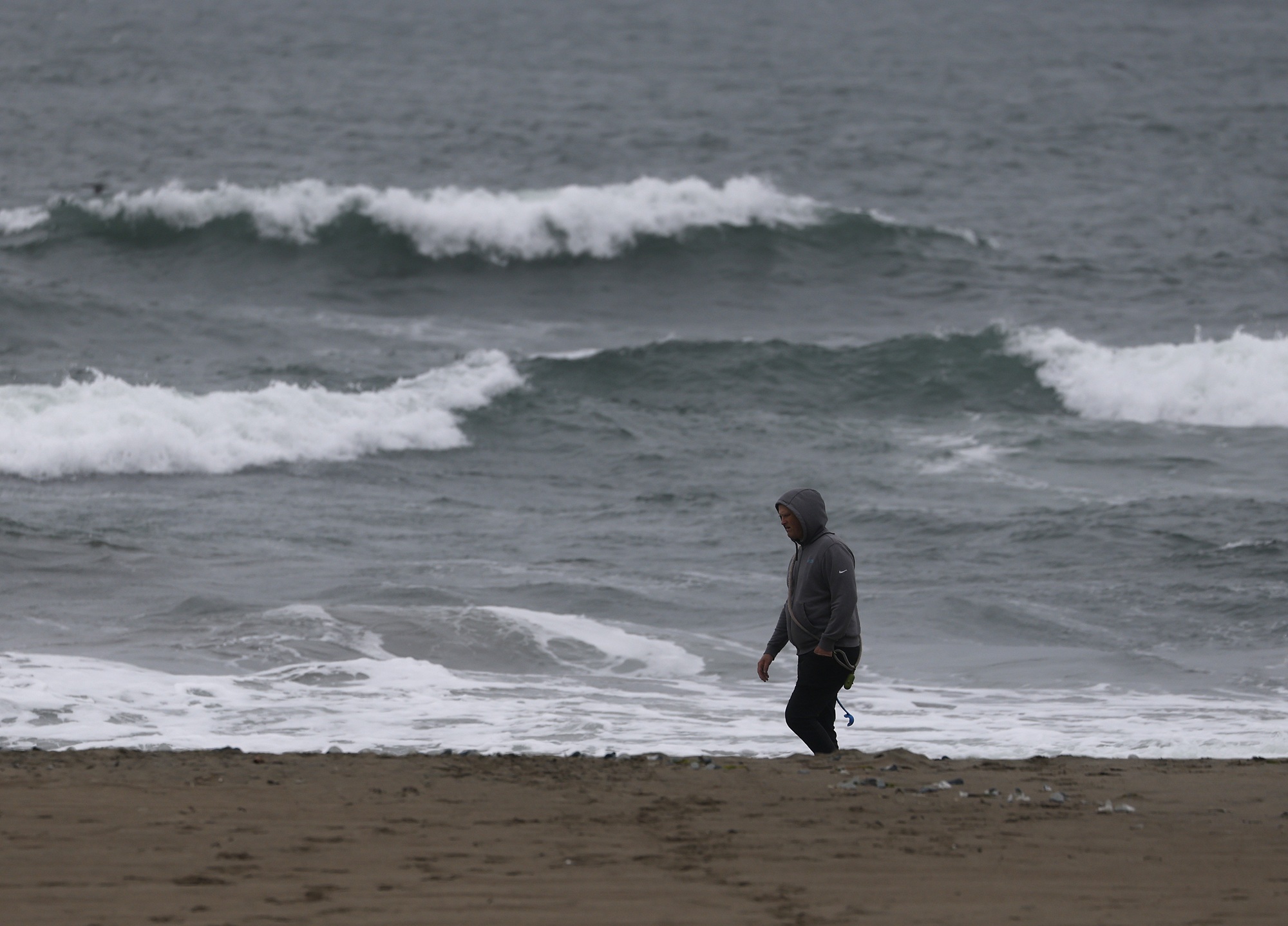
A tropical storm is forming off the coast of Baja California, a system that national forecasters say has a virtually nonexistent chance of intensifying into a hurricane.
The National Hurricane Center is predicting a 90% chance of a tropical storm forming in the Baja California area within the next 48 hours and within the next seven days.
The storm brewing off the Baja coast is fueled in part by the very strong El Niño, a natural climate pattern that is gaining momentum and warming sea surface temperatures in the Pacific Ocean. Temperatures off the coast of San Diego are about 8 degrees above the average for this time of year, according to the Scripps Institution of Oceanography.
Daniel Swain, a climate scientist with UC Agriculture and Natural Resources, said the warming of the eastern tropical Pacific Ocean is one consequence of human-caused climate change.
During his YouTube office hours on Monday, Swain said that the ocean off the coast of Southern California and off the west coast of Mexico “is the warmest it has ever been in recorded history.”
“There is a record-breaking amount of potential energy stored in that surface ocean,” Swain said. “There is a lot of extra moisture in the overlying atmosphere because, of course, warm water means more evaporation.”
But meteorologists are making it clear that California’s coast has a small chance of a tropical storm making landfall, and an even smaller chance of a hurricane, over the next week. NWS forecasters reported that it’s the “least likely outcome at this point.”
“Everything in between is also on the table,” Los Angeles-based weather service meteorologists wrote in their daily forecast discussion.
If the storm forms and veers west, California will likely get very little rain or wind, forecasters said. But if it moves northeast, remnants of the tropical storm increase the chances of rain in Southern California and eventually the Bay Area.
“To be clear, there is virtually no chance that a hurricane will make landfall in California,” Bay Area weather forecasters wrote in their daily forecast discussion. “The actual water temperature is still far too cold to support a tropical cyclone.”
Lauren Villafane, a meteorologist with the NWS San Diego office, said cooler water off the California coast usually protects the state from the effects of intense tropical storms or hurricanes.
“Until it actually develops into something and we get more confidence in its track, I can’t put out anything with any real confidence,” Villafane said.
“Even with our above-average temperatures that we have going on currently, it’s still not those ideal temperatures for tropical cyclone formation,” Villafane said. “Our cold water actually has the tendency to kill things off. So, which is why we usually end up with tropical remnants over the area if we get anything at all.”
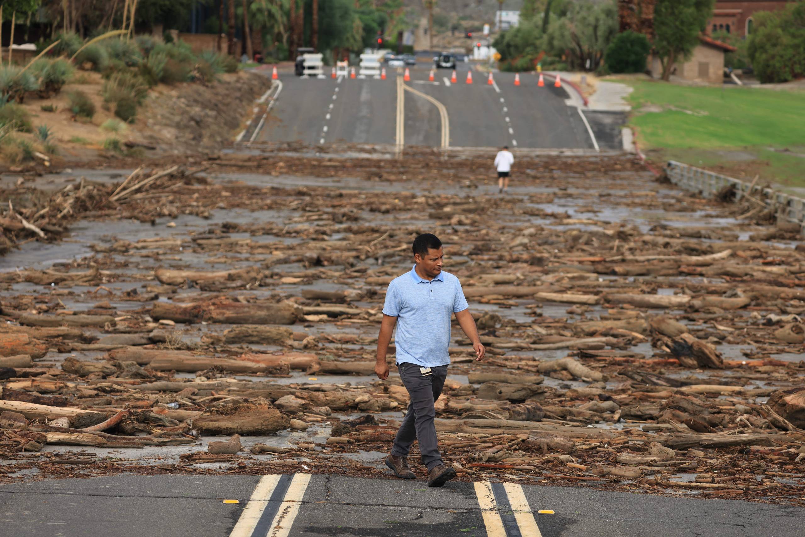
The last time a tropical storm swept over California was in 1939. But remnants of tropical storms have made landfall — Hilary brought significant rain and flooding to Southern California in August 2023, causing nearly a billion dollars in damage to the state.
“It wasn’t a hurricane by the time it reached here,” Villafane said.
Sea surface temperatures are in the mid- to upper-50s off the Bay Area coast. “Warm water is one of the things you need for a tropical cyclone formation, which is what El Niño really is,” Villafane said.
Models show a range of possibilities for the storm’s track once it forms, including one with a 5% chance of direct impacts on Southern California, she said.
“If you cherry-pick models, it makes it look like we’re going to get it,” Villafane said. “But a lot of the other models have it going in a different direction.”
If the system moves north, it could lead to a higher chance of precipitation — but not significantly windy conditions, according to Brian Garcia, warning coordination meteorologist for the NWS Bay Area office.
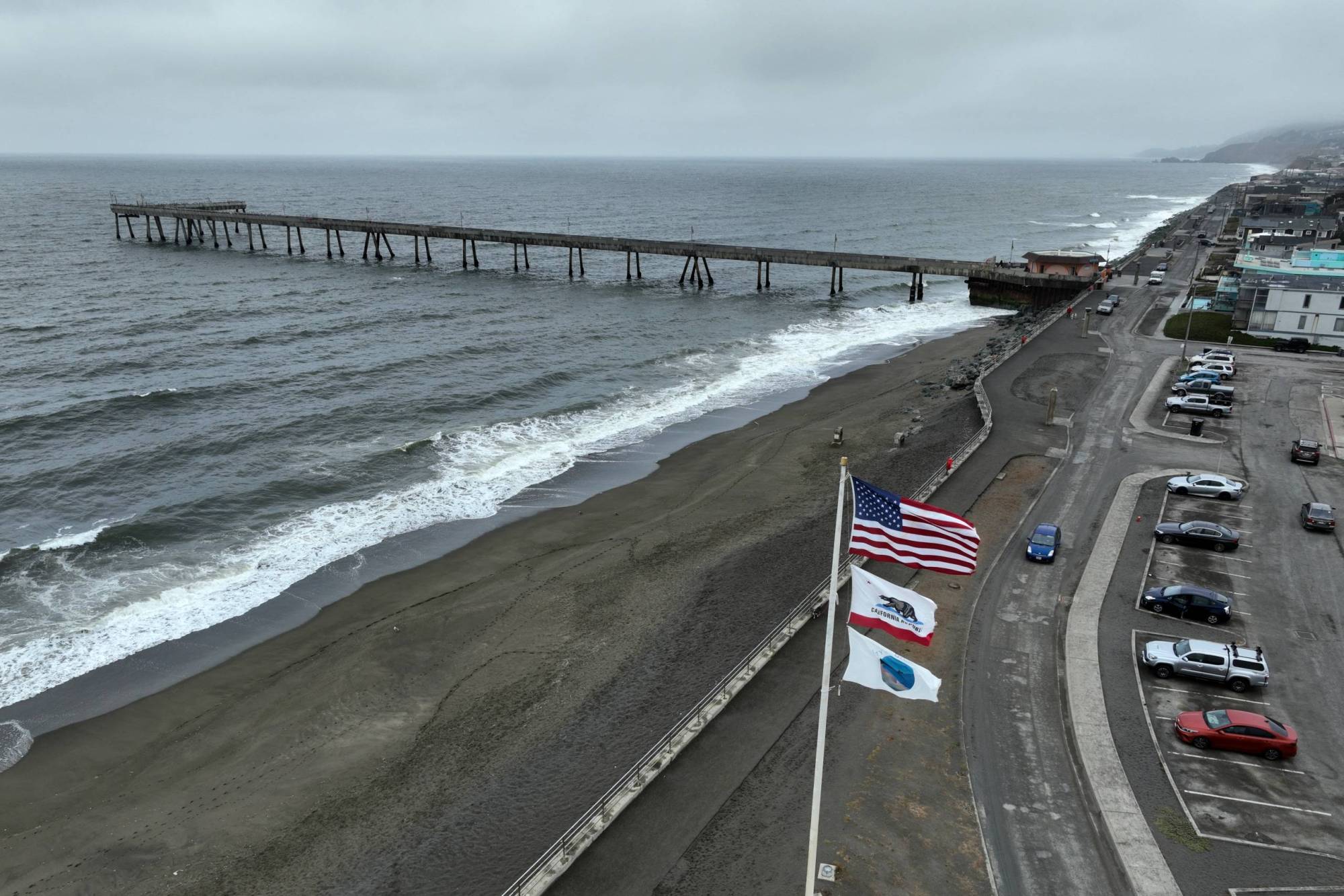
“In terms of seeing any sort of storm come up towards the Bay Area or even as close as the Central Coast, it’s pretty much a nonstarter,” Garcia said. “We can’t get a hurricane up across these waters because the waters are just too cold.
“But we could get moisture to build across our area, which could bring significant rainfall,” he said.
Garcia also said that a cold, low-pressure system moving south from the Gulf of Alaska, which could affect the Pacific Northwest by midweek, could reach the Bay Area near the end of the workweek.
“It could provide a highway for the remnants of the tropical system to ride along and bring it across different portions of California,” Garcia said. “It is definitely something that we’re watching, we’re keeping an eye on, and we’ll be messaging out to our partners as things become a little bit more concrete.”