A Bay Area Heat Wave Is Coming, Along With Beach Hazards and Wildfire Risk
The Bay Area is heading into its hottest stretch of the summer so far, with inland temperatures climbing toward 100 degrees by the weekend. But the heat may not be the most dangerous thing about this week’s weather.
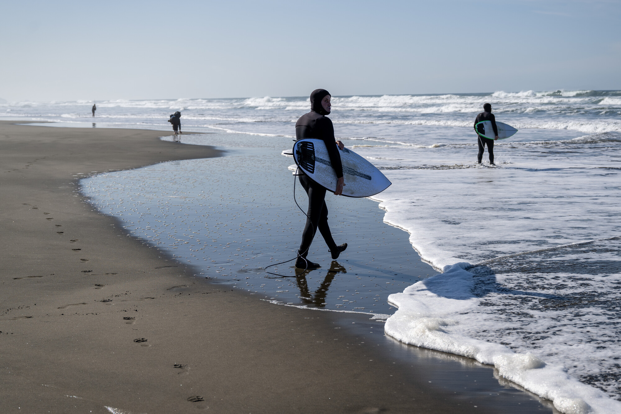
As residents head for the coast to escape the heat, forecasters warn they will be walking into the most hazardous surf conditions of the season, driven by two distant hurricanes churning off Mexico. A weekend of dangerous waves has already prompted reports of roughly 25 water rescues along the California coast.
“We are recommending everyone to stay away from the beach and stay out of the water, “ said Nicole Sarment, a meteorologist with the Weather Service’s Bay Area office. “I know it’s going to be hot. I know people like the beach in the summer. But it’s just so dangerous out there.”

Making the ocean even more threatening is that it will appear calm, Sarment said.
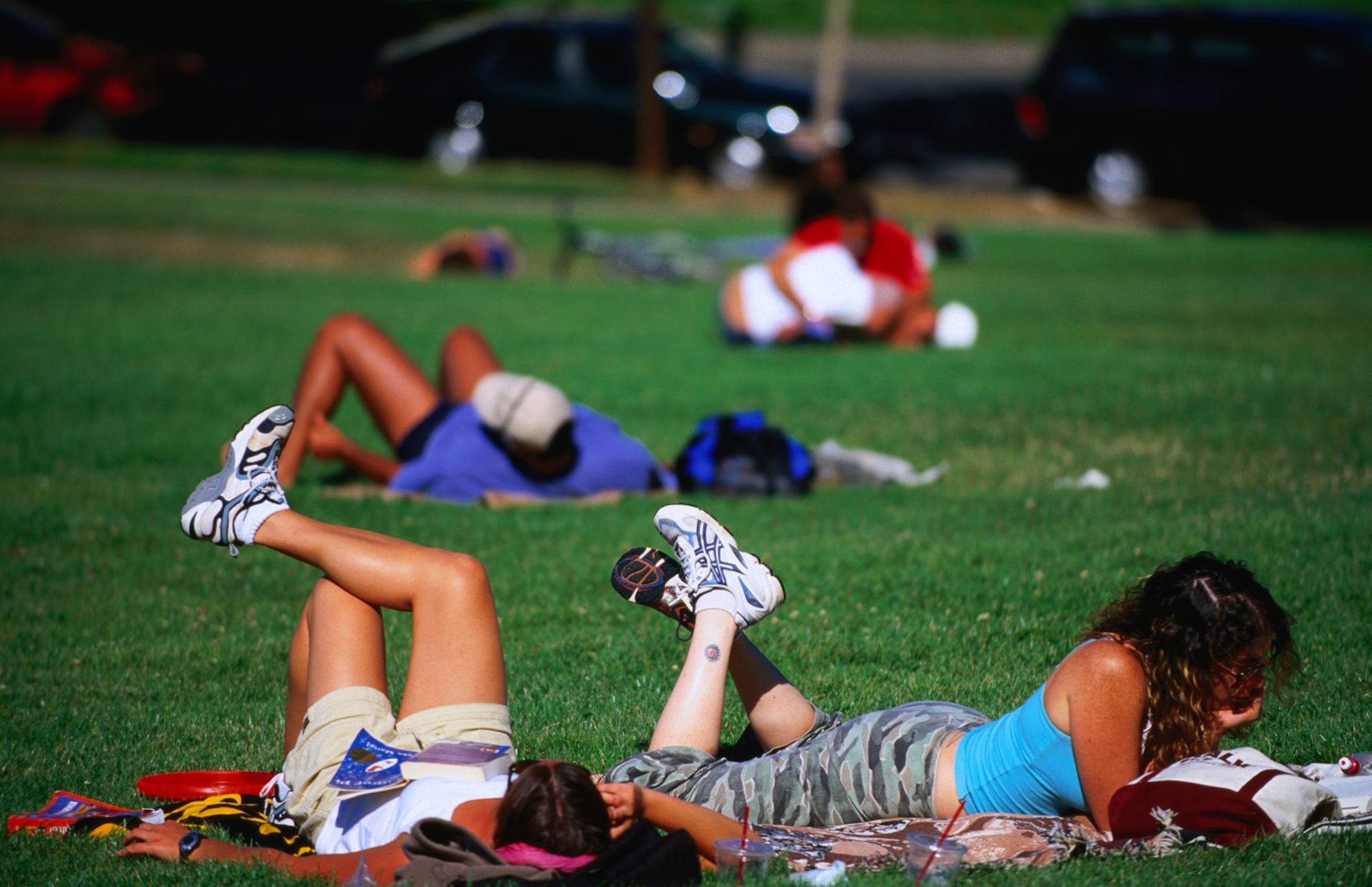
A long-period swell generated by hurricanes Fausto and Genevieve, the latter evolving into a Category 5 hurricane on Monday morning, is creating sneaker waves that can run far up the beach after 20 minutes or more of flat water, sweeping people and pets off dry sand and into cold, turbulent surf. Rip currents running stronger than normal can then pull even strong swimmers out to sea.
“Even if the water seems flat for 20 minutes, you can still have an unsuspecting wave run much farther, up actually on dry sand, getting people who are sleeping, walking their dogs,” Sarment said.
Her advice: stay off jetties, piers and rocks, stay out of the water, and never turn your back on the ocean. Breaking waves could reach 10 feet at south- and southwest-facing beaches such as Ocean Beach, Pacifica and Santa Cruz. The Weather Service’s beach hazards warning runs through Wednesday afternoon and could extend into the weekend.
Heat is expected to peak Saturday, with the interior East Bay and North Bay potentially reaching 100 degrees, Sarment said. Temperatures across the region will run about 10 degrees above normal, though Sarment said that is not unusual for late July.
This split between a mild coast and a baking interior is the Bay Area’s signature summer pattern, thanks to the marine layer, the blanket of cool ocean air that acts as the region’s natural air conditioning. Under high pressure this week, that layer compresses to under 1,000 feet, Sarment said, shrinking the fog’s reach so that cooler air clings to the immediate coastline while inland valleys like Livermore roast unimpeded.
The coastal danger is not about tides or towering waves that look threatening. Sarment said it is an ocean that appears calm. The heat dries fuels quickly in the hills, and forecasters say the elevated fire threat, concentrated above the marine layer at about 2,000 feet and higher, will worsen toward the weekend as afternoon humidity in the driest spots drops toward 15%. The interior Central Coast and the region’s higher ranges, including the Diablo Range and the East Bay hills, are the areas of greatest concern.
Sarment said fires like the ones so far this summer frequently trace to cars, either starting as vehicle fires that spread to vegetation, or blazes sparked by people driving or parking on dry grass.
Forecasters are urging people to avoid anything that could throw a spark, warning that fires that start now are likely to spread fast.
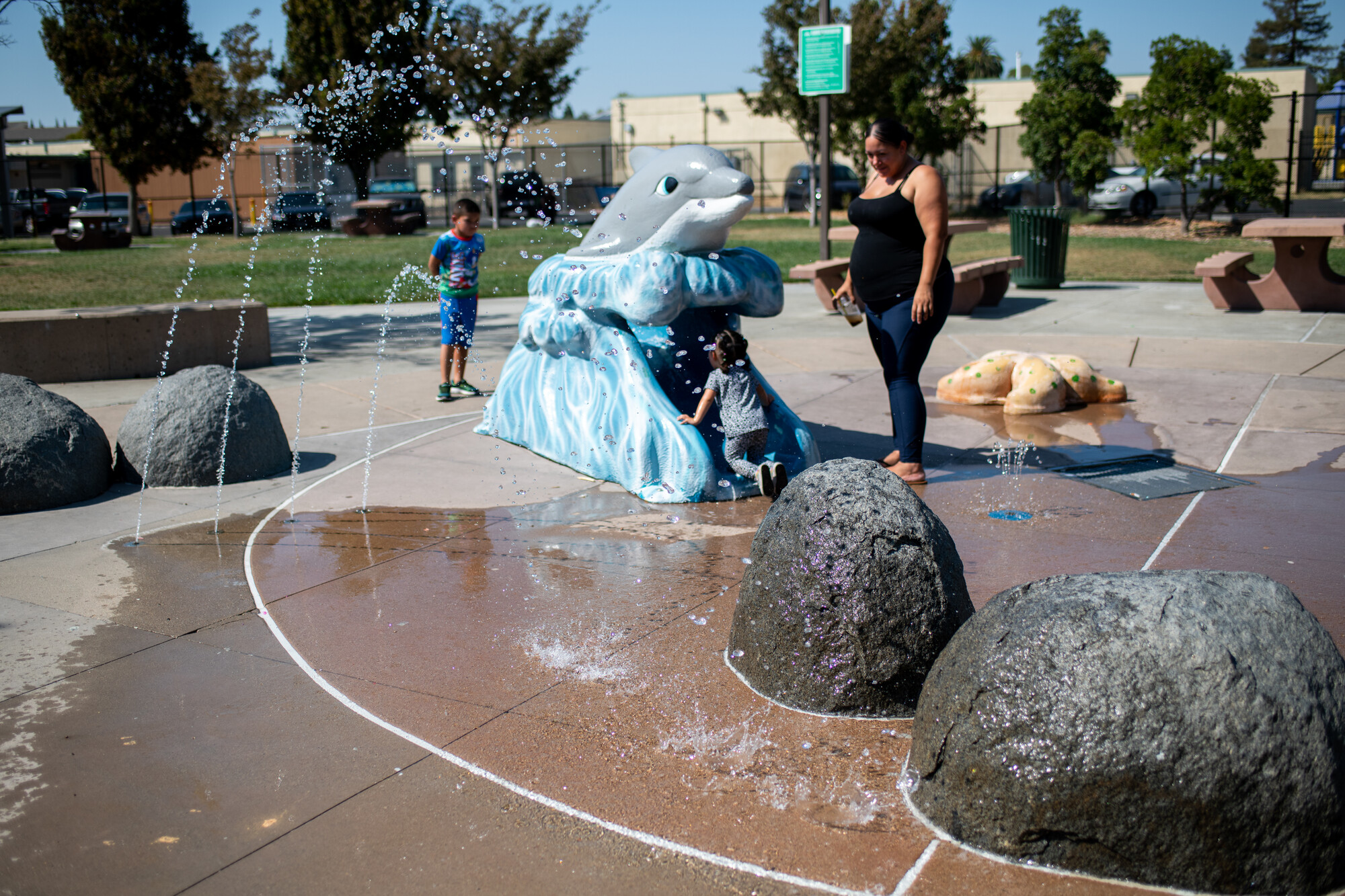
For those who spend the days outside, whether working, camping or home with kids on summer break, the Weather Service’s guidance is to hydrate, take frequent breaks and shift strenuous activity to the cooler parts of the day. Older adults, people without air conditioning, unhoused residents, pregnant women and young children are most at risk in the heat. She reminded to never leave children or pets in an unattended vehicle.
The heat is expected to build midweek and peak into the weekend, though forecasters say there is still uncertainty in how hot it ultimately gets. The Weather Service is posting updates on its website and social media accounts.