‘A Potential Catastrophe’: Sacramento-San Joaquin Delta Prepares for Super El Niño
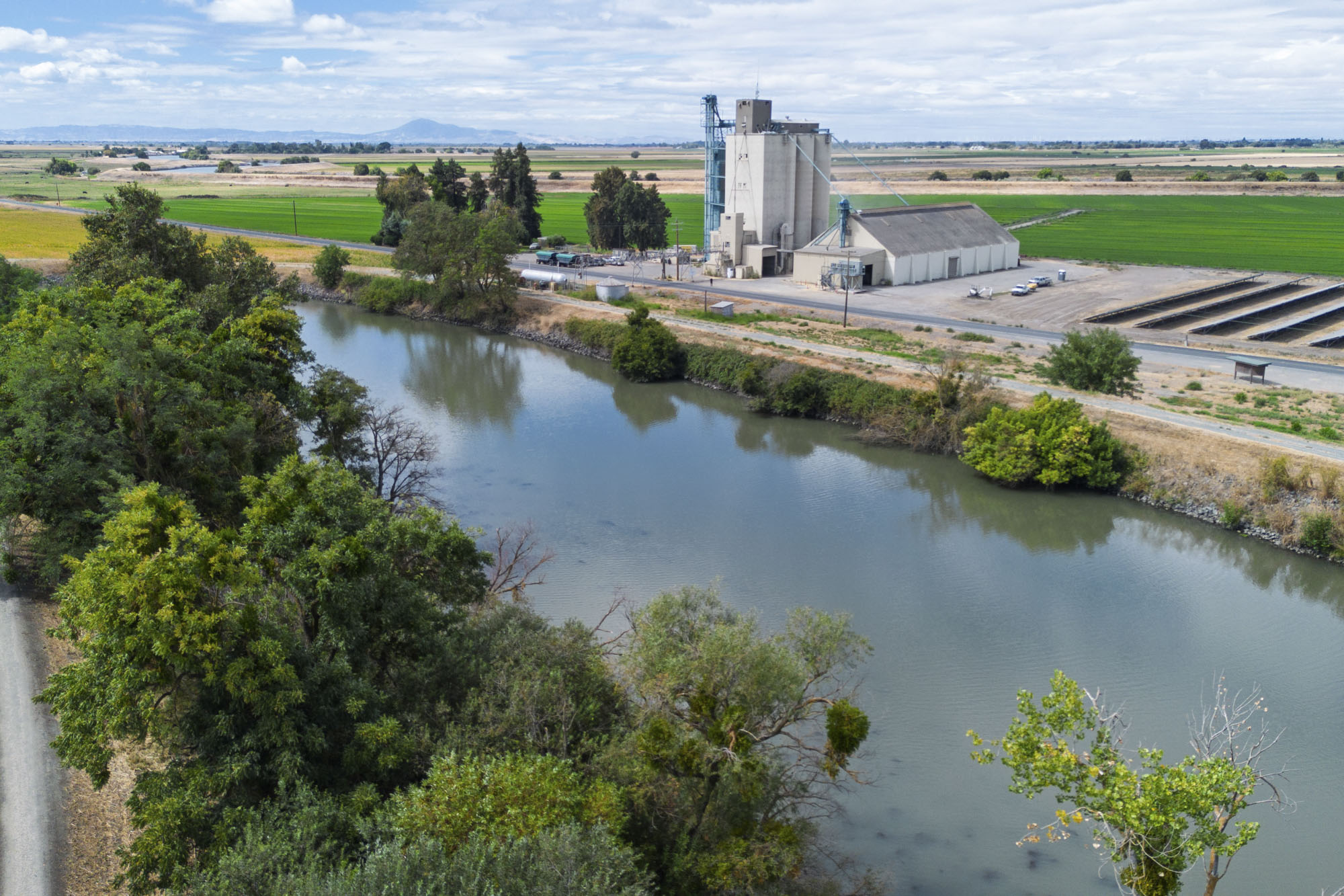
Aaron Lickingteller pointed down from the top of one of the westernmost levees in the Sacramento-San Joaquin Delta to the land 25 feet below.
Without constant maintenance work, he said, these levees degrade quickly. “Squirrel holes, dead trees, little leaks, a little bit of erosion. Next thing you know, you’re springing a leak,” he said. “That leak is like a zipper on a pair of pants. You just unzip that, and everything comes out, you know what I mean, or goes in.”
Like most Delta islands, Twitchell Island sits below sea level. It is less of an island, more of a bowl. On either side run the Sacramento and San Joaquin rivers, which together capture about 40% of the state’s runoff. This year, as California faces what experts are calling “Super El Niño” conditions, residents in the Delta are preparing for the prospect of devastating flooding. But they have faced tough conditions before, and while they are readying for worst-case scenarios, some feel a hard-earned confidence that comes from decades of work to improve levees and response systems.
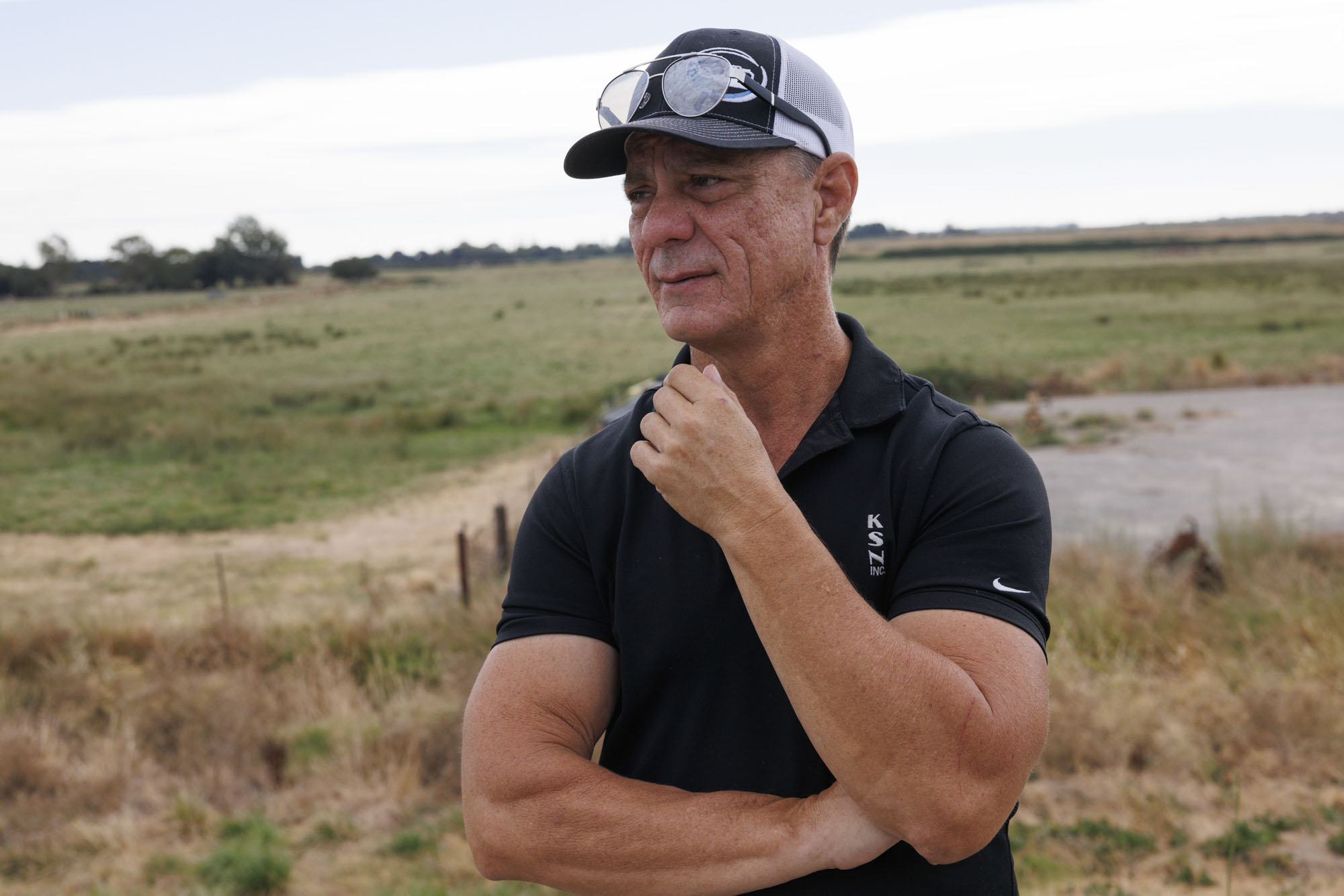
But if predictions hold, keeping the water out won’t be an easy task. The volume of water pushing against the Delta’s roughly 1,100 miles of levees — many built by hand more than a hundred years ago — will be much higher.
With warmer ocean temperatures, tide levels and storm surges will rise, and wet, warm storm systems will become stronger and more frequent. In a possible scenario this year, a supercharged King Tide may coincide with an atmospheric river, sending powerful floodwaters downhill from the Sierra Nevada to meet a water level in the Delta up to six feet higher than normal.
Just behind Lickingteller, a cargo ship passed by, its wake breaking against the levee. He walked further along the levee’s interior to a construction site, heavy machinery crawling across the bare, brown earth. “Things have to get messy before they get put back together,” he said. This is the current levee improvement area for KSN, Inc., the engineering company he works for — improvements that never stop.
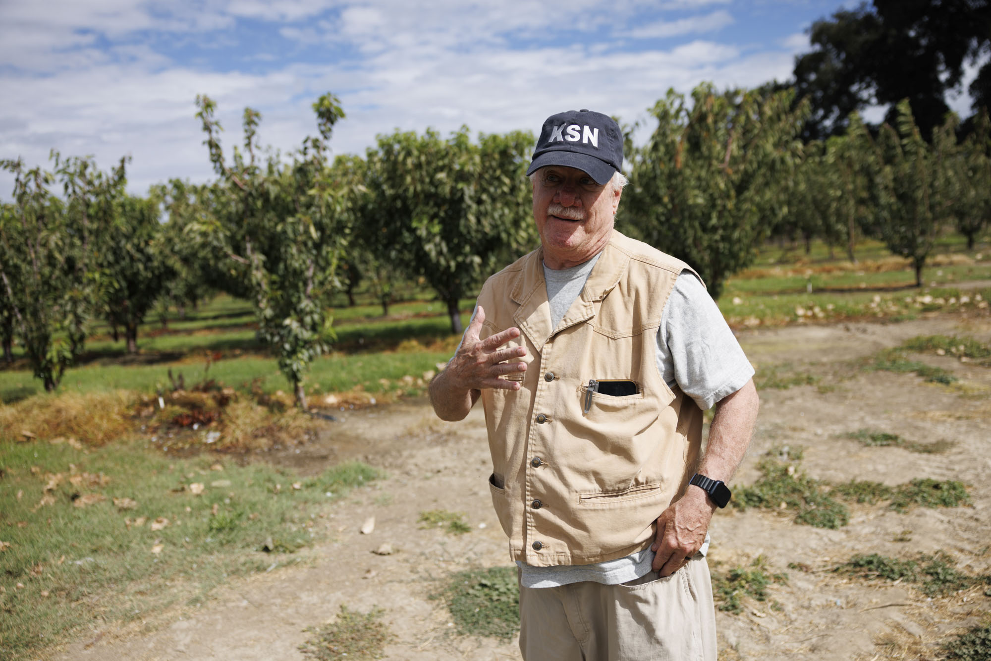
As he explained the risks of this coming winter, the wind gusted from the Carquinez Strait. “By the time the wind comes and smashes the water here, it’s got a lot of force.” If that force is coupled with a high water event, “you’re just looking for a potential catastrophe.”
On the eastern end of the Delta, fifth-generation farmer Daniel Wilson said he has a different set of worries. He leaned on an enormous pear-sorting machine, under a shade awning, away from the sun. Behind him were rows of pear and cherry trees — besides irrigation, no water in sight. While the water on Twitchell Island is always close to the top of the levee, on this eastern side the level is dependent on river flow rate, with much more seasonal variation. Most of the year, Wilson said, water isn’t a threat. But during the winter, large storms send powerful surges of water downstream.
“When it does go that big, it breaks all the levies [upriver] and all hell breaks loose.” Wilson recalled the worst flooding years in recent memory, and said he has “every reason to believe” this year could be worse.
‘Their feet haven’t been wet lately’
The Delta, once a 700,000-acre tidal marsh, is no stranger to flooding. In 1972, a levee failure inundated Brannan-Andrus Island, including the historic town of Isleton, causing $20 million in damage. In January of 1983, Mildred Island flooded when King Tides coincided with an atmospheric river, and it remains underwater to this day.
In 1986, more than 30,000 acres of the Delta were flooded, and in 1997, snows from a cold winter storm melted rapidly by rain from a warm atmospheric river, creating floodwaters that ravaged both the Sacramento and San Joaquin systems. That event remains the flood of record for the Delta, flooding Tyler Island, among others.
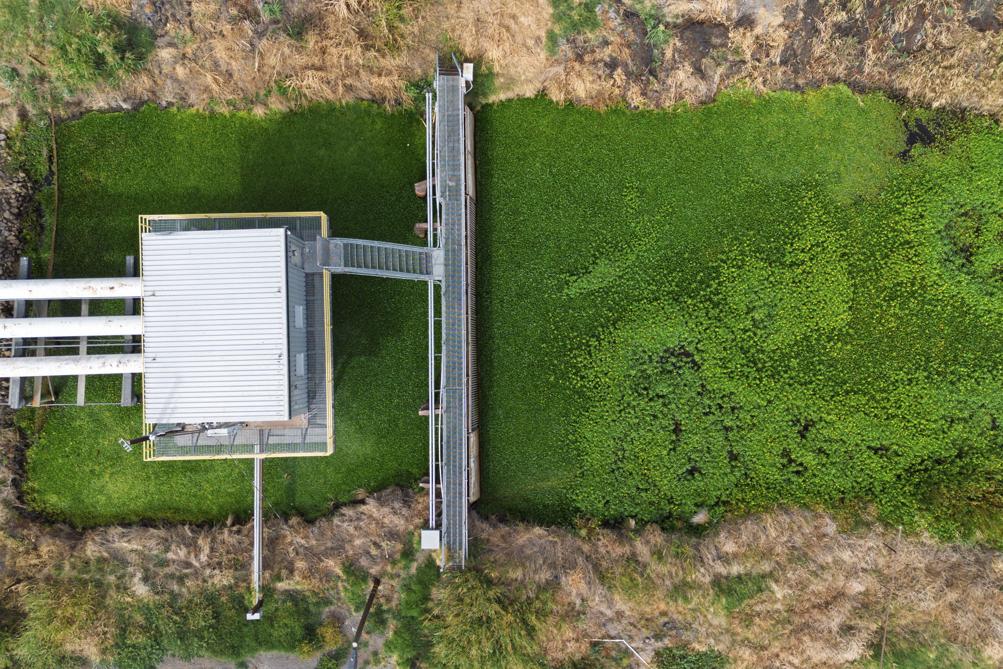
This episodic flooding, while costing lives and money, has also led to increased funding to strengthen the Delta’s fragile levee system. Chris Neudeck, president of KSN, Inc., said that since 1972, there’s been a marked improvement in the height and quality of levees. One of the reasons for this? Southern California depends on freshwater that flows through the Delta until Tracy, where it’s pumped south. Half of California’s water supply flows through the Delta and is delivered to three out of five Californians.
For that freshwater to stay fresh, the Delta system has to stay intact, Neudeck said. Otherwise, saltwater encroaches too far upstream. In the past, such as the 1972 Brannan-Andrus flood, the salinity line encroached too far east and the state stopped pumping water south. Because of the improvements, there hasn’t been an island flooded by a levee failure in over 20 years.
Still, Neudeck said California’s leaders are not spending enough money protecting this vital chokepoint. “I’ll be frank, they’re irresponsible,” he said. “It’s just too convenient to forgo expenditures, when their feet haven’t been wet lately.”
The Delta of the future
Campbell Ingram, executive officer of the Delta Conservancy, a state agency focused on ecosystem restoration in the Delta, acknowledged the improved levees, but said the system is still under threat.
“That’s absolutely a credit to them and great, but I think many people, myself included, have serious doubts about the long-term viability of the Delta given climate change and increasing sea level rising, increasing storm magnitude,” Ingram said.
A report from another state agency, the Delta Stewardship Council, found that by 2085, 21% of the Delta’s population, 68% of its land, $22 billion in assets and more than $5 billion in annual economic activity would be exposed by a 100-year flood event.
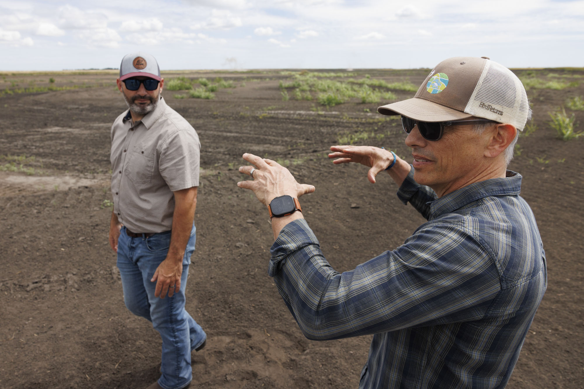
One of the primary problems is that the Delta keeps on sinking. Much of the Delta rests on peat, a spongy soil that, while fertile for farming, risks further subsidence when planted with traditional row crops like corn. “There are a 150,000 acres out there in the center of the Delta between twenty and thirty feet below sea level,” Ingram said.
Jerred Dixon, a fifth-generation Delta farmer, is piloting a way to create a more resilient future on Staten Island. Owned by The Nature Conservancy and managed by Dixon, the island is now an economically viable, wildlife-friendly farm.
“It’s right at the neck of two of the three rivers that feed from the Sacramento River to the San Joaquin for fresh drinking water for the south. And also a kind of a bottleneck for migratory birds,” Dixon said. He described the fragile economic and ecological ecosystem of the Delta alongside his own life, growing up five miles from Staten Island.
“My whole life was spent in the Delta, and it’s kind of a little bit in my blood,” Dixon said with a smile. “This is the last Wild West of California.”
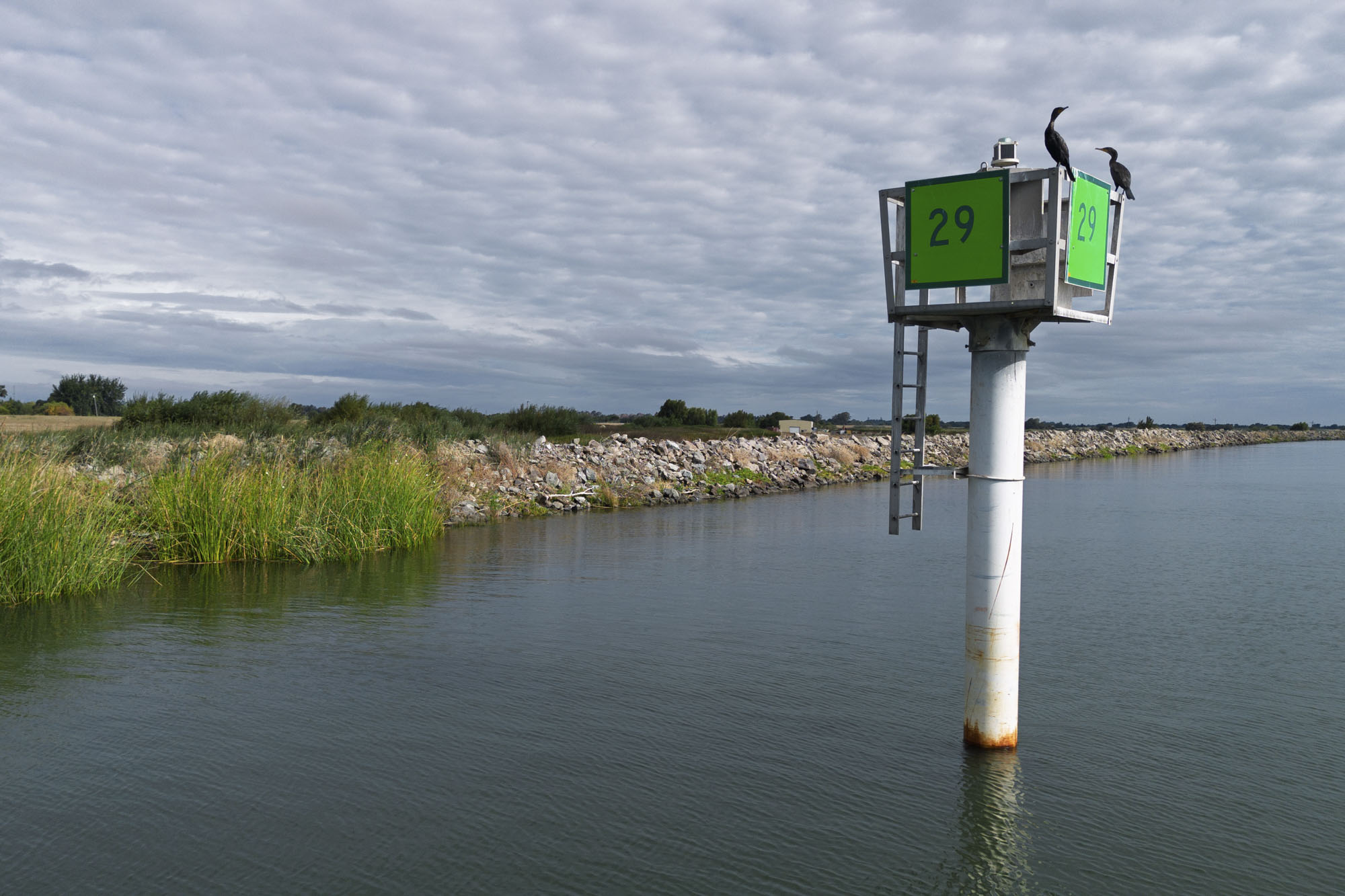
Dixon parked his truck on top of the levee near the meeting of the North and South forks of the Mokelumne River. He pointed toward little saplings, protected by plastic, on the river side – it costs about $5 million a mile to do this levee rehabilitation, he said, laughing. Then he looked over the island to a conservation easement that protects the migratory birds.
“We’re making it that agricultural ridge, but still being able to provide that habitat for the birds and foraging and roosting habitat.” On the mineral soil, he can grow corn and alfalfa and triticale, and toward the lower end, a mixture of rice and wetlands, which prevent further subsidence, sequester carbon, and provide habitat for migrating sandhill cranes.
A large portion of the global population of cranes spend their winter here in the Delta. “The sun is going down behind Mount Diablo, and there’s 50,000 birds coming in,” said Rodd Kesley, California land program director with The Nature Conservancy, of Staten Island. “It’s magical.”
“There’s no future of California that’s very bright without the Delta actually being functional and intact in some new ways, not business as usual but toward a future that makes sure we’re still able to deliver the water,” he said.
‘We’re always kind of on edge’
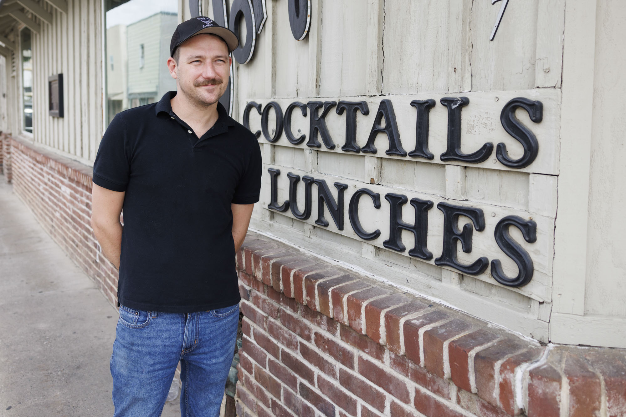
Zak Thelen, a bartender at Tony’s Place in Walnut Grove, said the risk of flooding is a fact of life for Delta residents. “We’re always kind of on edge.”
Delta living means driving long distances to get to grocery stores and other basic needs. And even the frequent, minor flooding can make life difficult. But, over time, you get “used to it,” he said. This year, though, feels different.
“I’ve had a lot of people talk about this El Niño.” He said he hoped for the same minor flooding they deal with every year, instead of what “we always dread about it, the levees breaking.”
Across the Delta, living with the constant threat of flooding breeds a particular kind of acquiescence and resilience.
“We really don’t have anything to stop it in big years,” Dixon said. “One island kinda always goes down in bad years.”
Wilson, meanwhile, hasn’t planted crops on one of the smaller islands on his farm because of the flooding risk. “Will somebody flood this year? Probably, somewhere in the Delta. Hopefully not us, but it’s hard to say.”
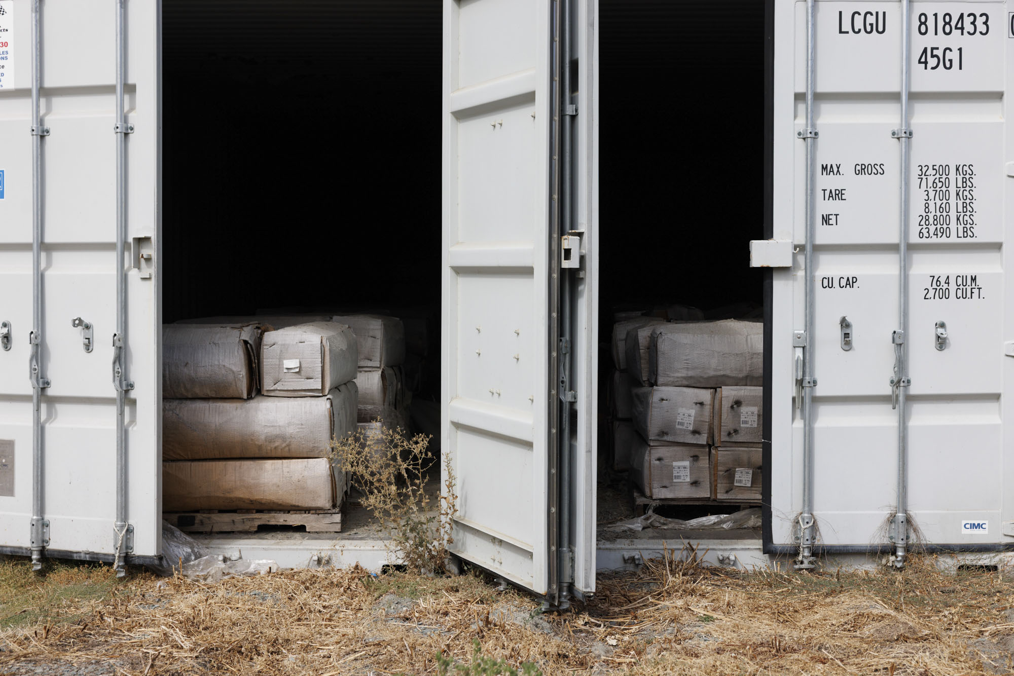
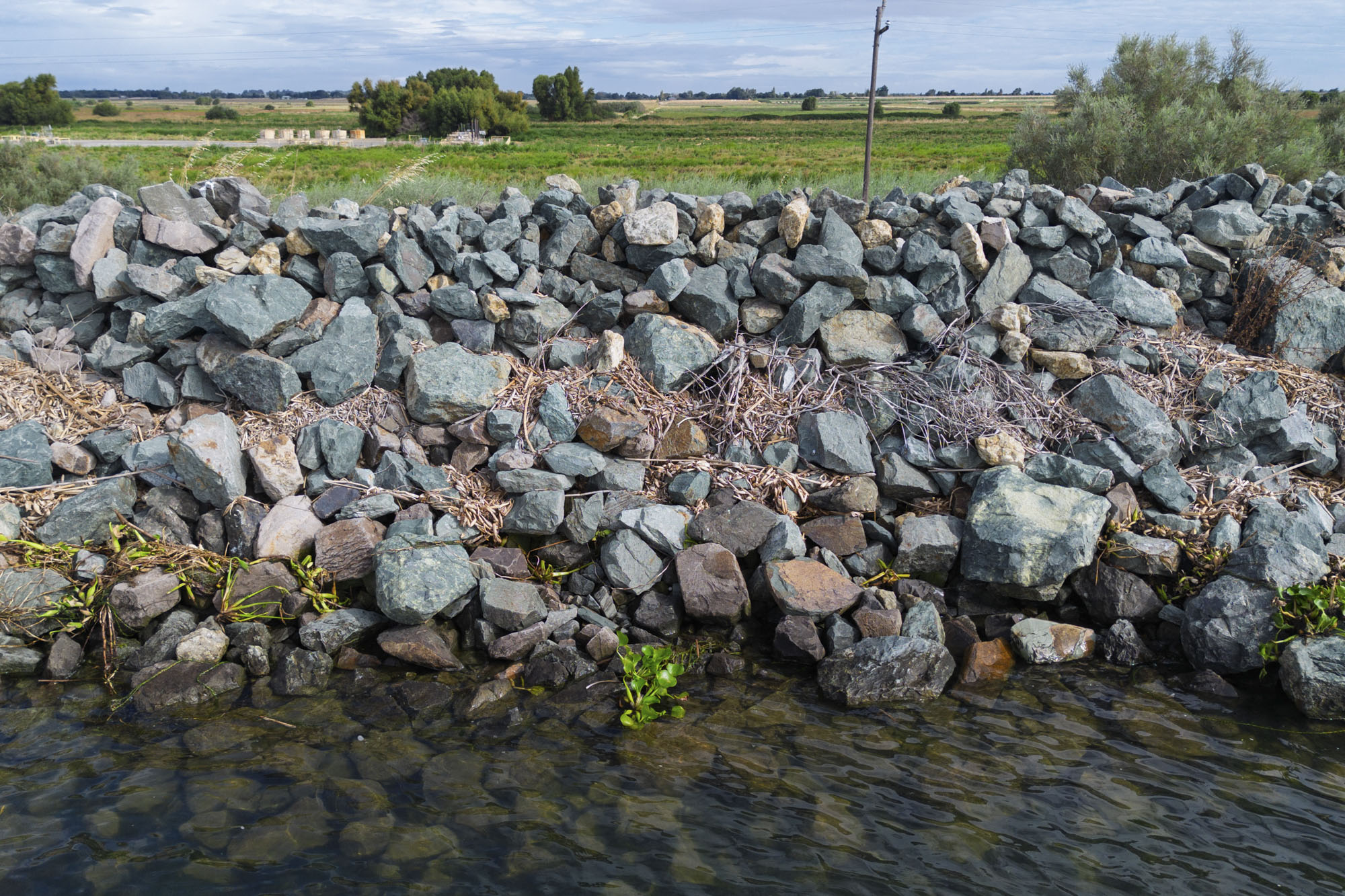
Back on Twitchell Island, Lickingteller said that they’re ready. “There’ll be 24/7 levee patrols when the waters are high, and it’s constantly raining, winds blowing.”
And if a levee were to fail, it would be all hands on deck — farmers, landowners, engineers and emergency response — all working together in an effort they call “flood fighting.”
“Things happen quick,” he said. You could be out checking the levee, and everything’s fine, then “five minutes later this whole thing collapsed.”