Bay Area Braces for Another Round of Storms This Week
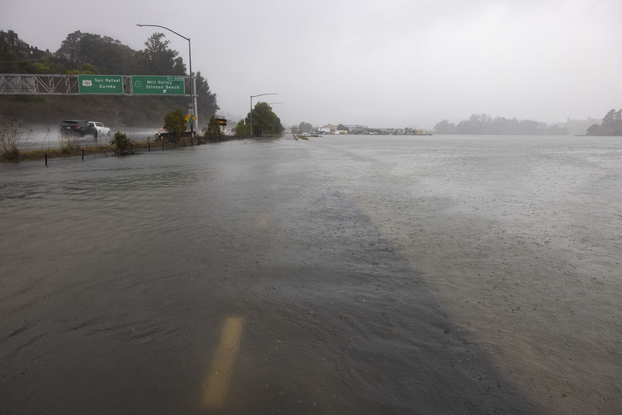
If April showers bring May flowers, then November showers bring … More showers?
Two weekend storms brought rainfall and massive, 35-foot waves to the coast, prompting the National Weather Service to issue a coastal flood advisory through Nov. 13, due to elevated water levels during peak high tide.
For the coming week, the NWS predicted a cold front will begin to settle over the North Bay Tuesday, coupled with strong winds from the south.
The NWS also expects temperatures this week to be “cooler than normal,” with daytime highs to fall 5-10 degrees below seasonal averages. Overnight lows will be mostly in the 40s, with more central regions dipping into the high 30s.
In an update posted shortly after midnight Monday to its Bay Area forecast discussion, the NWS said forecasters considered issuing an official cold weather advisory for the region but decided against it, “given the limited coverage of temps 36 or lower in low lying valley locations.”
More intense weather is expected later in the week, with the chance of thunderstorms Wednesday evening, forecasters said.
In the meantime, they’re warning beachgoers to stay out of the water, with a high surf advisory along the Pacific coast in effect through 4 a.m. Tuesday.