Bay Area Heat Wave Breaks Records in These 4 Cities, With Relief Ahead

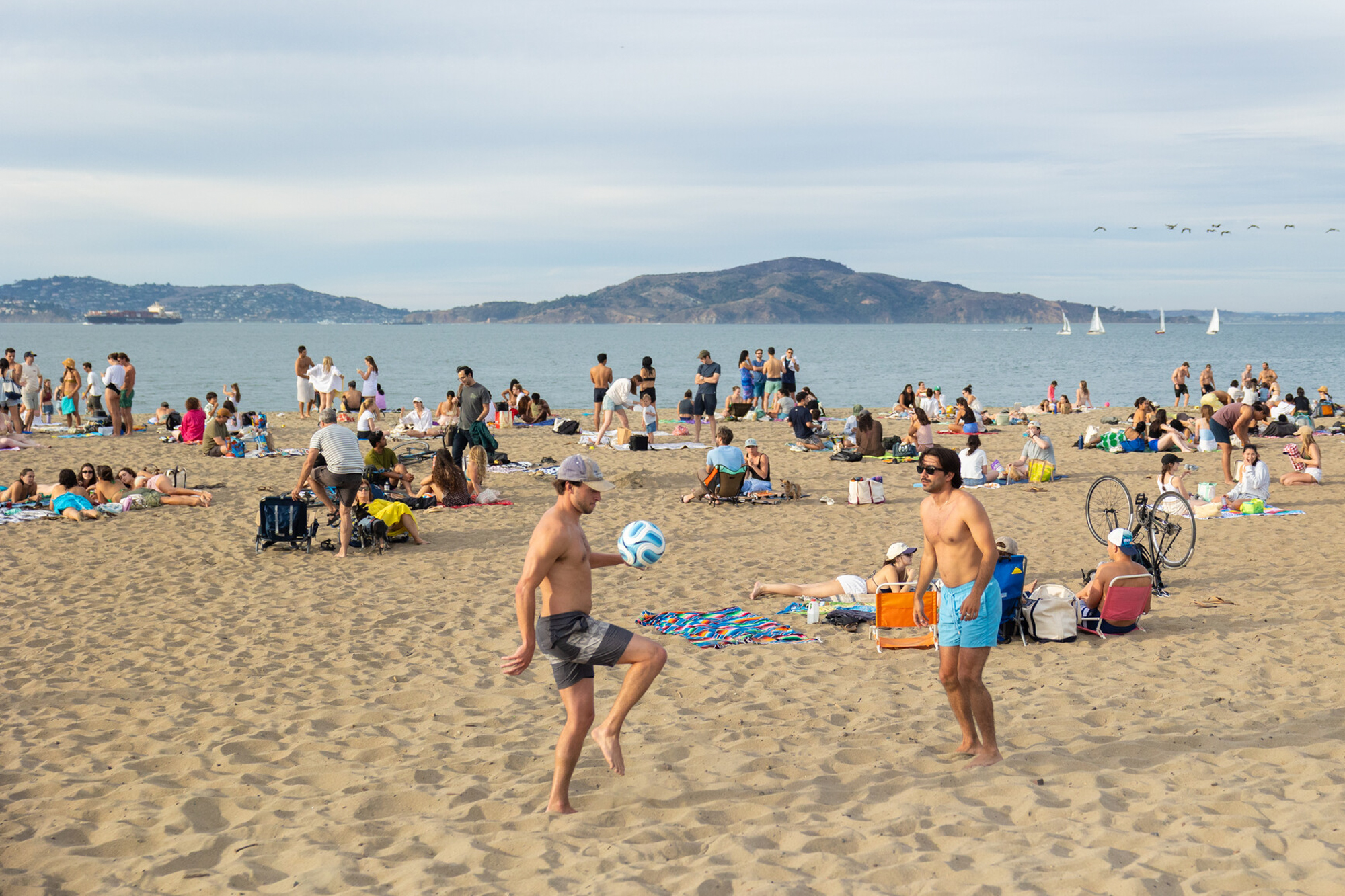
This week’s heat wave caused four Bay Area cities to break daily high records on Wednesday, and forecasters expect at least one more day of above-average heat this week.
San Rafael reached 104 degrees, downtown Oakland soared to 97 degrees, San Francisco’s airport flew to 94 degrees, and Half Moon Bay peaked at 83 degrees, said Nicole Sarment, a Bay Area National Weather Service meteorologist.
Wednesday’s temperatures were 10 to 20 degrees above normal for this time of year, though Sarment noted that September is the hottest month for most parts of the region. And according to the National Oceanic and Atmospheric Administration, the country experienced its hottest meteorological summer on record, while California set a record for its warmest August average temperature.
For the rest of the week, Sarment forecasts temperatures to drop slightly on Thursday and decrease by around 10 degrees on Friday, dipping a couple of degrees each day after. Some spots, like the interior East Bay and the furthest reaches of the North Bay, could still reach into the triple digits on Thursday.
“It may be hard to tell, but we already kind of are cooling off,” Sarment said. “It will be in the 90s, and the city may be up to 80. It’s still going to be warm. I don’t want to undersell that, but we’re not expecting it to be as hot as it was yesterday.”
Sarment said Bay Area residents should also be on the lookout for wildfire starts because of the heat, dryness and potential winds as the weather pattern slowly changes.

“The main thing is going to be just preventing sparks,” Sarment said. “Don’t go out and do landscaping.”
Forecasters expect the strong high-pressure system from the east that caused this week’s soaring temperatures to stick around through Thursday. But that will change Friday, as a “pulse of energy” from the north will slowly begin to flatten the ridge and help temperatures drop, meteorologists wrote in their daily forecast discussion.
Onshore flow, winds from the Pacific Ocean toward the coast, return Thursday, “which is really going to be the saving grace for the coast,” Sarment said.
And then there’s the promise of the marine layer making a return Thursday night. Although Sarment said she’s “cautiously optimistic” that the marine layer will make a full comeback tonight, it’s currently “so far away.” With the current temperatures, it will be difficult to form.
By the weekend, Sarment expects highs to drop into the mid-70s to mid-80s inland and the upper 60s to upper 70s close to the coast.