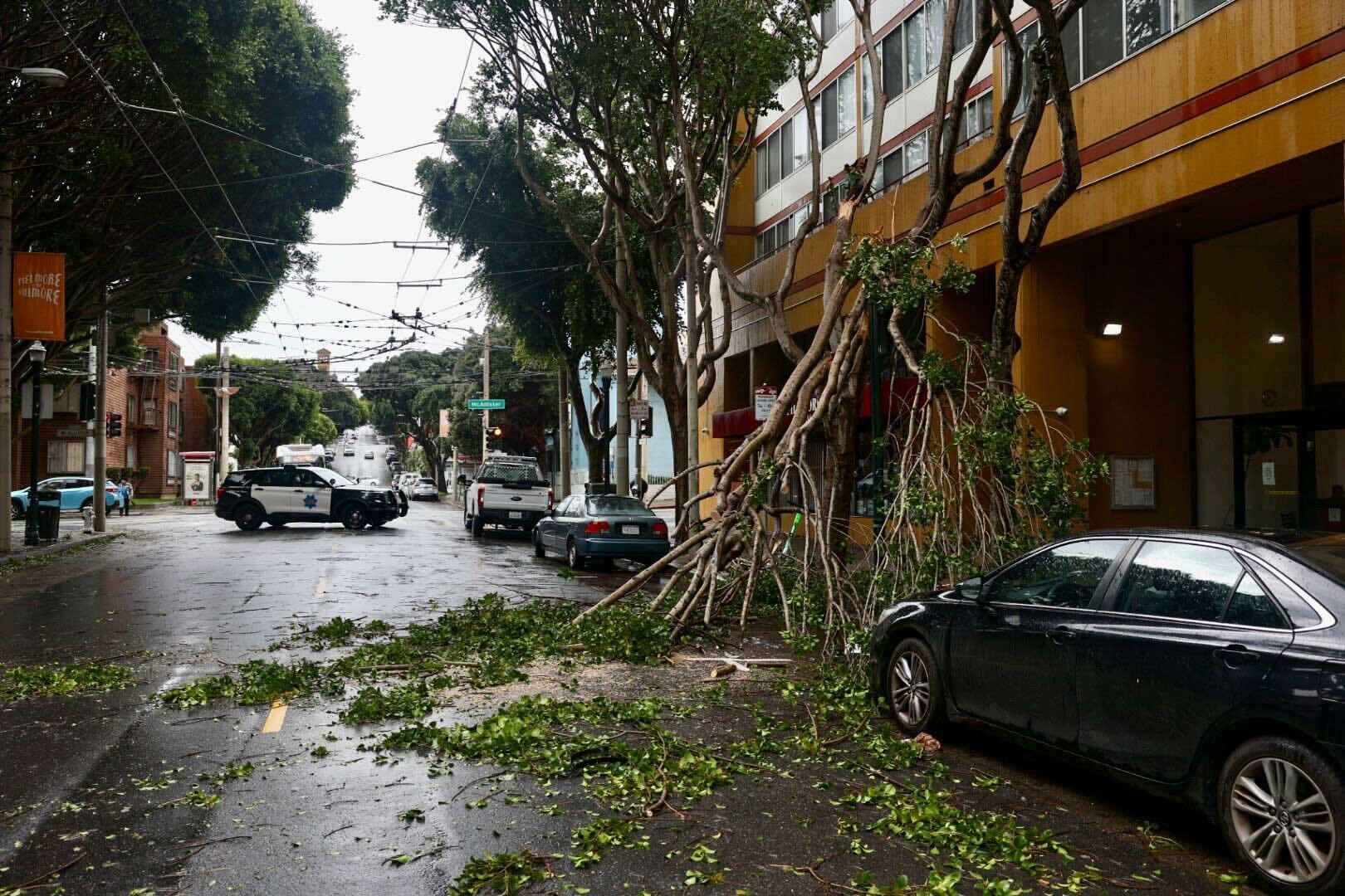
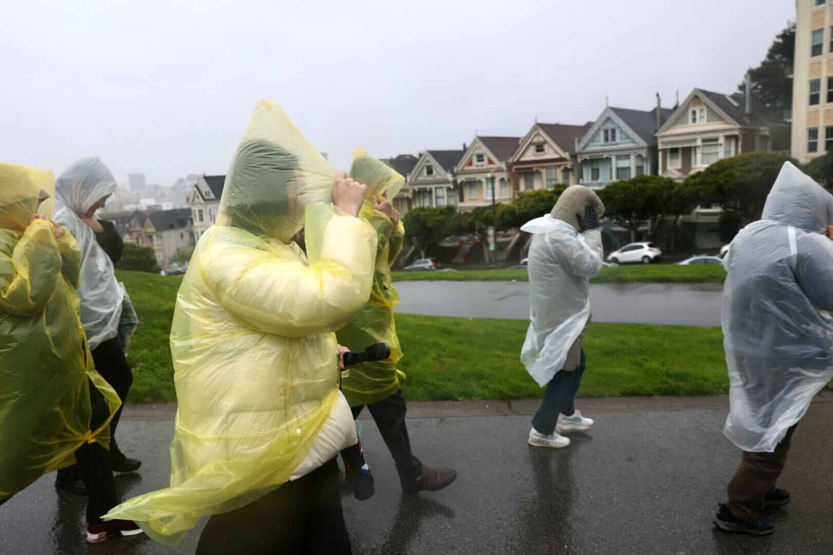
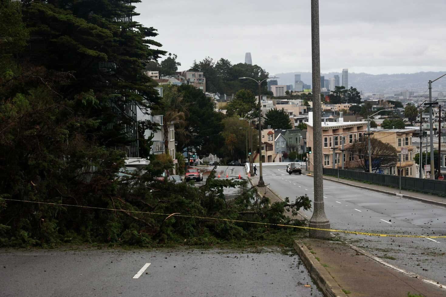
The intense atmospheric river-fueled storm that pummeled the region with heavy rainfall and hurricane-force winds — nearing or topping 100 mph in a handful of mountainous Bay Area locations — left hundreds of thousands of homes and businesses without power on Sunday and into Monday. As of 10 a.m. Tuesday, more than 63,000 homes in the Bay Area — including upward of 27,000 in the North Bay — were still in the dark, according to PG&E.
With the storm expected to wreak even more havoc in already-saturated Southern California, Gov. Gavin Newsom on Saturday declared a state of emergency for Los Angeles, Orange, Riverside, San Bernardino, San Diego, San Luis Obispo, Santa Barbara and Ventura counties, which allows the state to mobilize the National Guard for emergency response if necessary. The Office of Emergency Services activated its operations center and positioned thousands of personnel and equipment in areas throughout the region most at risk.
Updated 7:50 p.m. Sunday
As a massive storm continues to roll over the region, the National Weather Service said thunderstorms, lightning and hail are still impacting the Bay Area Sunday evening, with power outages impacting more than 700,000 customers.
Scattered thunderstorms and showers will last through the night until most of the rain has passed by Monday morning.
“There still could be some residual flooding on the roadways with the soils being saturated,” said NWS meteorologist Sarah McCorkle. “We could still see some downed trees, but overall, things should calm down by tomorrow morning.”
According to the state Office of Emergency Services, in the last few hours, Santa Clara County has seen the number of customers in the dark more than quadruple, to nearly 109,000. Close to 80,000 customers are without power across the North Bay.
San Mateo power outages have more than tripled in that time frame to over 74,000.
“We’ve got hundreds of crews out there responding to these outages, and it’s all storm-related,” said Jeff Smith with PG&E. “You know there’s a lot of heavy winds, and winds can knock power lines together and sometimes cause trees and branches to get into power lines.”
High wind warnings and wind advisories remain in effect through Sunday at 10 p.m. as wind speeds diminish this evening except at higher peaks.
“The NWS Storm Prediction Center in northern Oklahoma, usually the place that issues severe thunderstorm and tornado watches, just highlighted this region as having at least a slight chance of generating tornadic thunderstorms in the next one to two hours,” UCLA climate scientist Daniel Swain said on Sunday, pointing out that the extreme rain and intense winds stretched from Santa Cruz to San Jose.
Meteorologists with the NWS Bay Area office explained there’s a 5% chance they’ll issue a tornado watch.